AMP Przesieka dzień pierwszy
- 12.9 km
- 350 m
- 350 m
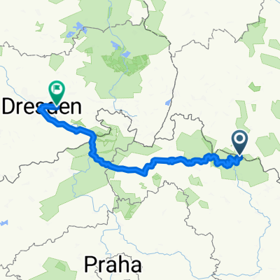
- Podgórzyn, Lower Silesian Voivodeship, Poland
A cycling route starting in Podgórzyn, Lower Silesian Voivodeship, Poland.
Overview
created this 16 years ago
Route quality
Quiet road
37.3 km
(15 %)
Road
32.3 km
(13 %)
Paved
193.9 km
(78 %)
Unpaved
2.5 km
(1 %)
Asphalt
189 km
(76 %)
Paved (undefined)
5 km
(2 %)
Continue with Bikemap
You would like to ride Riesengebirge Tag 3 or customize it for your own trip? Here is what you can do with this Bikemap route:
Free trial for 3 days, or one-time payment. More about Bikemap Premium.
Discover more Premium features.
Get Bikemap PremiumFrom our community
Open it in the app