onil-bañeres tcaf a
A cycling route starting in Onil, Valencia, Spain.
Overview
About this route
- -:--
- Duration
- 39.4 km
- Distance
- 611 m
- Ascent
- 611 m
- Descent
- ---
- Avg. speed
- ---
- Avg. speed
Continue with Bikemap
Use, edit, or download this cycling route
You would like to ride onil-bañeres tcaf a or customize it for your own trip? Here is what you can do with this Bikemap route:
Free features
- Save this route as favorite or in collections
- Copy & plan your own version of this route
- Sync your route with Garmin or Wahoo
Premium features
Free trial for 3 days, or one-time payment. More about Bikemap Premium.
- Navigate this route on iOS & Android
- Export a GPX / KML file of this route
- Create your custom printout (try it for free)
- Download this route for offline navigation
Discover more Premium features.
Get Bikemap PremiumFrom our community
Other popular routes starting in Onil
- Canalís
- Distance
- 6.8 km
- Ascent
- 353 m
- Descent
- 73 m
- Location
- Onil, Valencia, Spain
- Onil-Tàrbena-Xaló-Bèrnia-xaló-Tàrbena-Onil
- Distance
- 219.5 km
- Ascent
- 2,399 m
- Descent
- 2,399 m
- Location
- Onil, Valencia, Spain
- Balcó d'Alacant
- Distance
- 20.1 km
- Ascent
- 515 m
- Descent
- 250 m
- Location
- Onil, Valencia, Spain
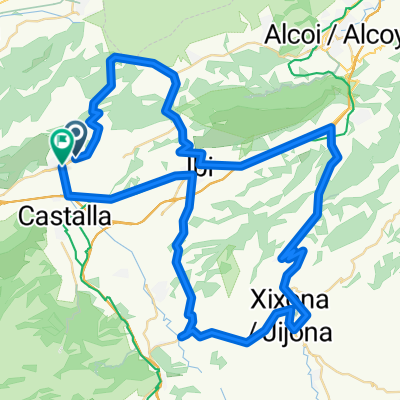
- Onil-L'Orxa-Villalonga i tornada pel camping
- Distance
- 170.1 km
- Ascent
- 2,144 m
- Descent
- 2,145 m
- Location
- Onil, Valencia, Spain
- Onil-Gorga-Planes-Salem i tornada per Muro i Camping
- Distance
- 151 km
- Ascent
- 1,667 m
- Descent
- 1,667 m
- Location
- Onil, Valencia, Spain
- alca corriendo
- Distance
- 7.5 km
- Ascent
- 142 m
- Descent
- 147 m
- Location
- Onil, Valencia, Spain
- onil-bañeres tcaf a
- Distance
- 39.4 km
- Ascent
- 611 m
- Descent
- 611 m
- Location
- Onil, Valencia, Spain
- ruteta examen mix
- Distance
- 21.6 km
- Ascent
- 537 m
- Descent
- 537 m
- Location
- Onil, Valencia, Spain
Open it in the app