Erlebnisroute Regio-Grün Süd
A cycling route starting in Neustadt/Süd, North Rhine-Westphalia, Germany.
Overview
About this route
Erlebnisroute Regio-Grün Süd
- -:--
- Duration
- 64.7 km
- Distance
- 80 m
- Ascent
- 95 m
- Descent
- ---
- Avg. speed
- ---
- Avg. speed
Route quality
Waytypes & surfaces along the route
Waytypes
Path
29.5 km
(46 %)
Quiet road
18 km
(28 %)
Surfaces
Paved
62.4 km
(96 %)
Unpaved
0.5 km
(<1 %)
Asphalt
44.8 km
(69 %)
Paving stones
10.8 km
(17 %)
Route highlights
Points of interest along the route
Photo after 4.8 km
Burg Kendenich
Photo after 9.5 km
Torbogen Römerstraße
Photo after 15.6 km
Sechtem, Kappesweg
Photo after 18.6 km
Wegkreuz im Feld zwischen Bornheim und Sechtem
Photo after 27.5 km
Buschdorfer Burg
Photo after 33.4 km
Rathaus Bonn
Photo after 34.4 km
Kennedybrücke Bonn
Photo after 35.7 km
Doppelkirche Schwarz-Rheindorf
Photo after 38.7 km
Siegfähre, Bonn
Photo after 44.4 km
Pommernstr. Niederkasseler
Photo after 51.5 km
zur Andacht?
Photo after 55.1 km
Zündorf . Das nette Örtchen an der Groove
Continue with Bikemap
Use, edit, or download this cycling route
You would like to ride Erlebnisroute Regio-Grün Süd or customize it for your own trip? Here is what you can do with this Bikemap route:
Free features
- Save this route as favorite or in collections
- Copy & plan your own version of this route
- Sync your route with Garmin or Wahoo
Premium features
Free trial for 3 days, or one-time payment. More about Bikemap Premium.
- Navigate this route on iOS & Android
- Export a GPX / KML file of this route
- Create your custom printout (try it for free)
- Download this route for offline navigation
Discover more Premium features.
Get Bikemap PremiumFrom our community
Other popular routes starting in Neustadt/Süd
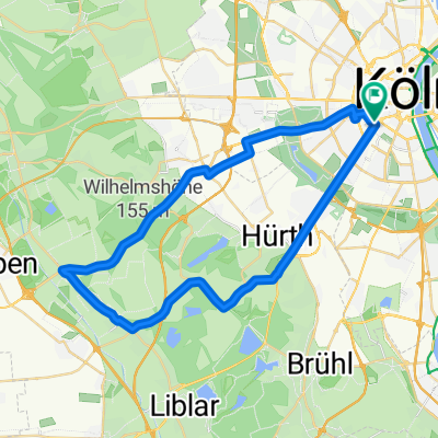
- Luxemburger Minirunde
- Distance
- 36.9 km
- Ascent
- 61 m
- Descent
- 63 m
- Location
- Neustadt/Süd, North Rhine-Westphalia, Germany
- Sülz - Glessener Höhe - Sülz
- Distance
- 43.2 km
- Ascent
- 184 m
- Descent
- 186 m
- Location
- Neustadt/Süd, North Rhine-Westphalia, Germany
- Runde knappsack Otto maigler
- Distance
- 36.7 km
- Ascent
- 957 m
- Descent
- 971 m
- Location
- Neustadt/Süd, North Rhine-Westphalia, Germany
- Große Lindenthaler Runde
- Distance
- 51.4 km
- Ascent
- 150 m
- Descent
- 145 m
- Location
- Neustadt/Süd, North Rhine-Westphalia, Germany
- Giro Panoramico
- Distance
- 126.9 km
- Ascent
- 464 m
- Descent
- 466 m
- Location
- Neustadt/Süd, North Rhine-Westphalia, Germany
- Brühl
- Distance
- 32.6 km
- Ascent
- 92 m
- Descent
- 82 m
- Location
- Neustadt/Süd, North Rhine-Westphalia, Germany
- Grosse Bergrunde
- Distance
- 109.5 km
- Ascent
- 1,082 m
- Descent
- 1,087 m
- Location
- Neustadt/Süd, North Rhine-Westphalia, Germany
- lockere Trainingsrunde
- Distance
- 19.3 km
- Ascent
- 37 m
- Descent
- 35 m
- Location
- Neustadt/Süd, North Rhine-Westphalia, Germany
Open it in the app