TTJ Tápiómente
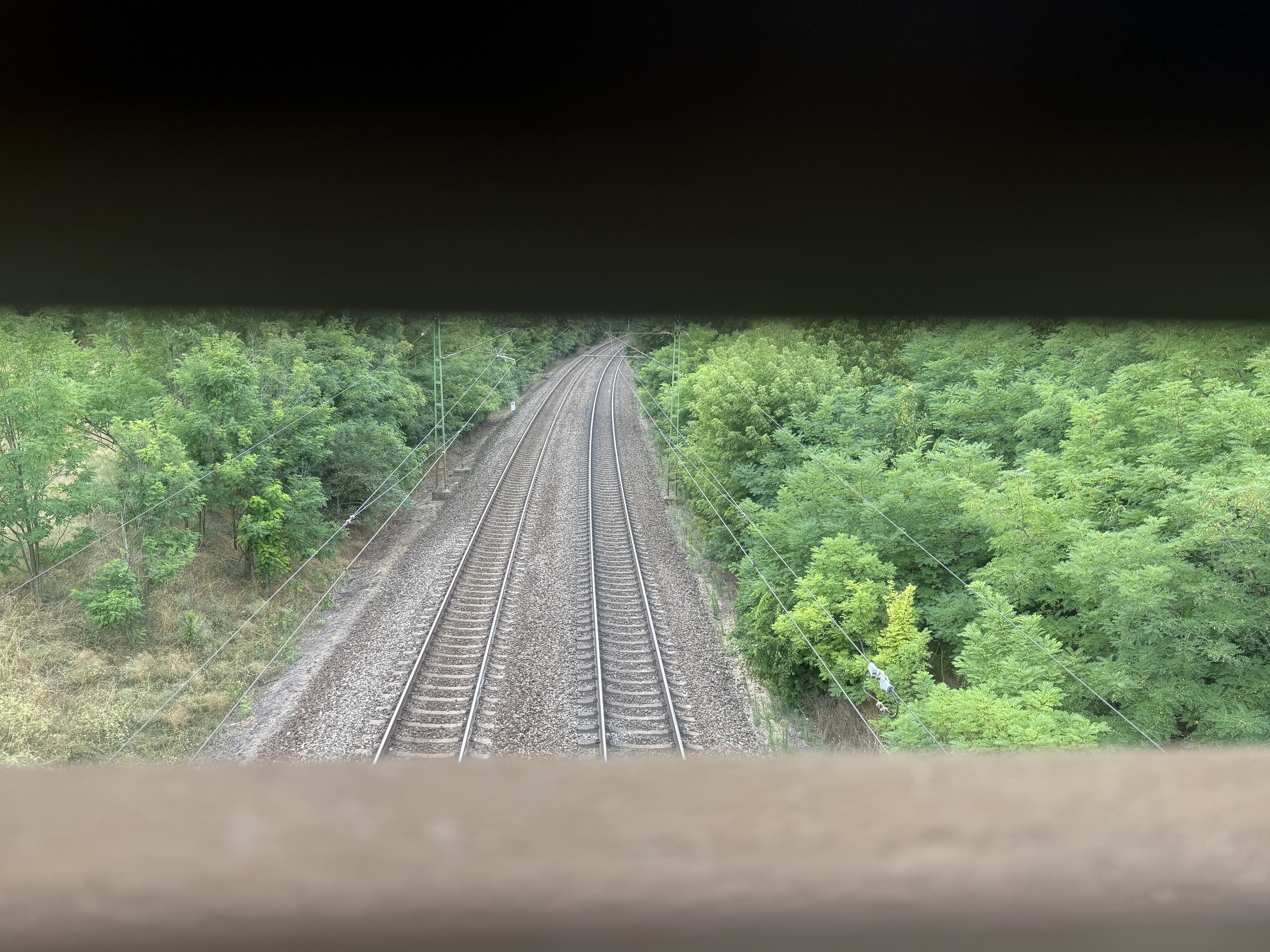
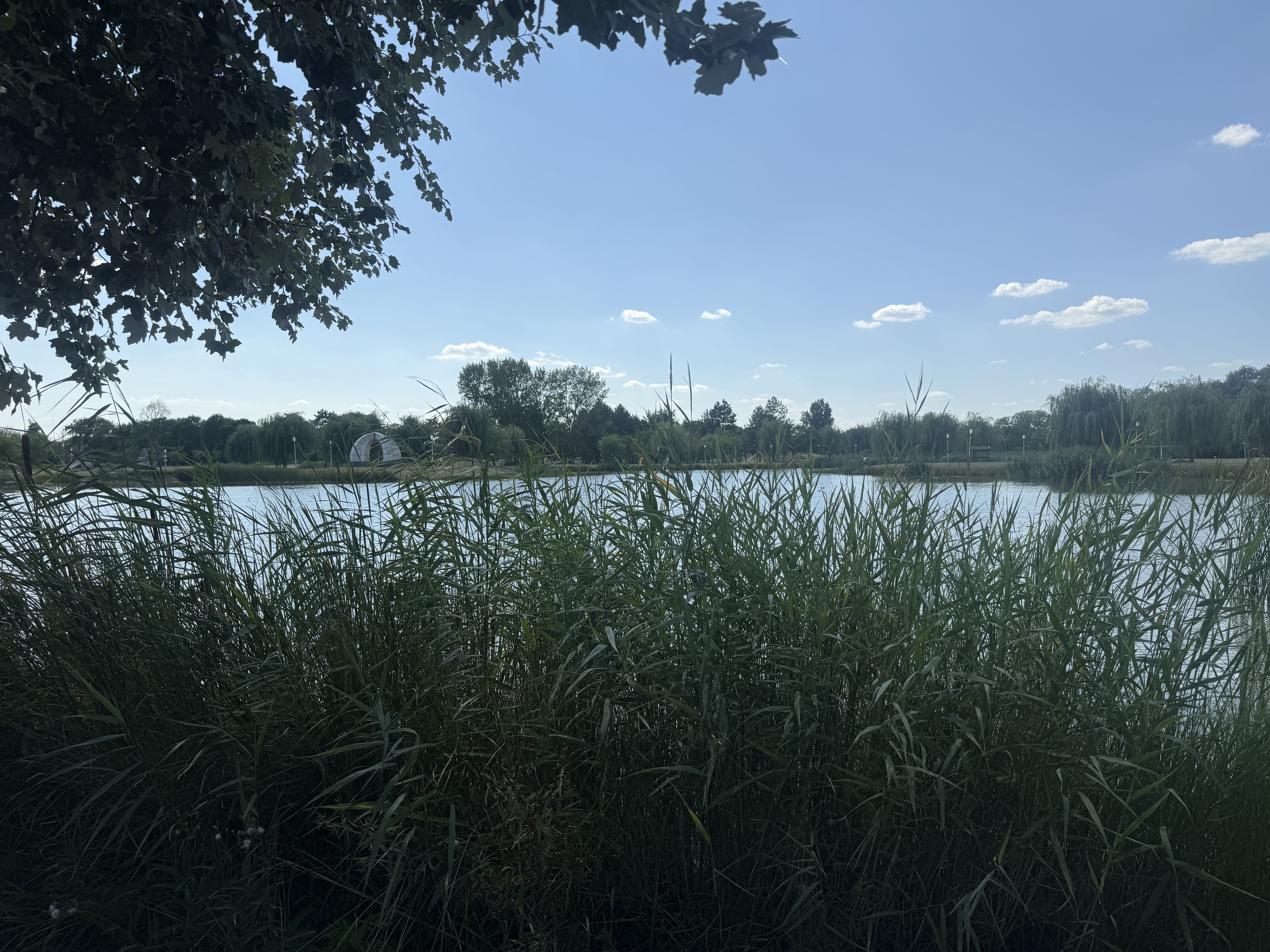
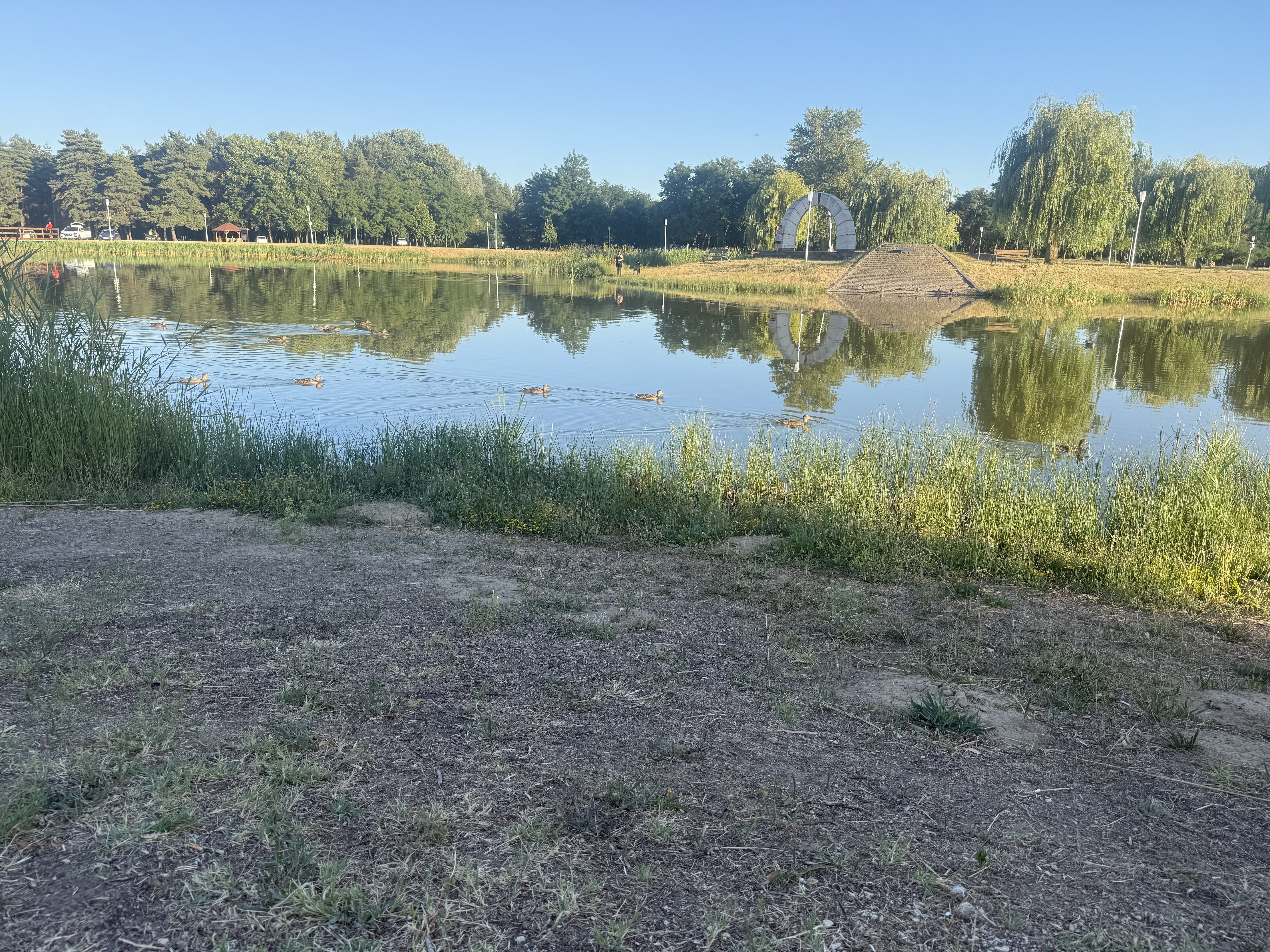
A cycling route starting in Cegléd, Pest megye, Hungary.
Overview
About this route
Cegléd
Tápiószőlős
Újszilvás
Tápiógyörgye
Tápiószele
Farmos
Tápiószentmárton
Tápióbicske
Tápióság
Tápiószecső
Kóka
Sülysáp
Tápiósáp
Úri
Gomba
Bénye
Káva
Pánd
(Pilis)<br />
- -:--
- Duration
- 115 km
- Distance
- 237 m
- Ascent
- 196 m
- Descent
- ---
- Avg. speed
- ---
- Max. altitude
Route quality
Waytypes & surfaces along the route
Waytypes
Busy road
70 km
(61 %)
Quiet road
12.7 km
(11 %)
Surfaces
Paved
51.2 km
(45 %)
Unpaved
1.4 km
(1 %)
Asphalt
50.2 km
(44 %)
Paving stones
0.9 km
(<1 %)
Continue with Bikemap
Use, edit, or download this cycling route
You would like to ride TTJ Tápiómente or customize it for your own trip? Here is what you can do with this Bikemap route:
Free features
- Save this route as favorite or in collections
- Copy & plan your own version of this route
- Split it into stages to create a multi-day tour
- Sync your route with Garmin or Wahoo
Premium features
Free trial for 3 days, or one-time payment. More about Bikemap Premium.
- Navigate this route on iOS & Android
- Export a GPX / KML file of this route
- Create your custom printout (try it for free)
- Download this route for offline navigation
Discover more Premium features.
Get Bikemap PremiumFrom our community
Other popular routes starting in Cegléd
- Mizsei út, Cegléd - Mizsei út, Cegléd
- Distance
- 26.8 km
- Ascent
- 55 m
- Descent
- 57 m
- Location
- Cegléd, Pest megye, Hungary
- TdH2018 Stage3 Cegled-Hajduszoboszlo
- Distance
- 203.8 km
- Ascent
- 56 m
- Descent
- 72 m
- Location
- Cegléd, Pest megye, Hungary
- TdH2018 Stage3 Cegled-Hajduszoboszlo ver2
- Distance
- 191.2 km
- Ascent
- 50 m
- Descent
- 61 m
- Location
- Cegléd, Pest megye, Hungary
- Mizsei út, Cegléd - Mizsei út, Cegléd
- Distance
- 30.9 km
- Ascent
- 56 m
- Descent
- 59 m
- Location
- Cegléd, Pest megye, Hungary
- Edzőkör
- Distance
- 66.1 km
- Ascent
- 19 m
- Descent
- 20 m
- Location
- Cegléd, Pest megye, Hungary
- Árpád utca, Cegléd - Mizsei út, Cegléd
- Distance
- 29.2 km
- Ascent
- 68 m
- Descent
- 70 m
- Location
- Cegléd, Pest megye, Hungary
- Mizsei út, Cegléd - Mizsei út, Cegléd
- Distance
- 50.6 km
- Ascent
- 103 m
- Descent
- 104 m
- Location
- Cegléd, Pest megye, Hungary
- Cegléd - Budai út strand 2
- Distance
- 17 km
- Ascent
- 22 m
- Descent
- 21 m
- Location
- Cegléd, Pest megye, Hungary
Open it in the app