Rute 1
- 8.7 km
- 524 m
- 284 m
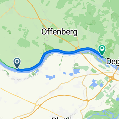
- Metten, Bavaria, Germany
A cycling route starting in Metten, Bavaria, Germany.
Overview
approximately 500-600 meters of elevation great views in Schneiderried of Edenstetten and Kalteck/Hirschenstein and in Eidsberg of Grafling and Deggendorf approximately 200 meters of unpaved path
created this 12 years ago
Route quality
Quiet road
19.3 km
(64 %)
Road
3.9 km
(13 %)
Paved
25.1 km
(83 %)
Unpaved
0.3 km
(1 %)
Asphalt
24.8 km
(82 %)
Paved (undefined)
0.3 km
(1 %)
Continue with Bikemap
You would like to ride Neuhausen-Schneideried-Eidsberg-Deggendorf-Neuhausen or customize it for your own trip? Here is what you can do with this Bikemap route:
Free trial for 3 days, or one-time payment. More about Bikemap Premium.
Discover more Premium features.
Get Bikemap PremiumFrom our community
Open it in the app