
Ostern 2013 Zittauer Gebirge
A cycling route starting in Großschönau, Saxony, Germany.
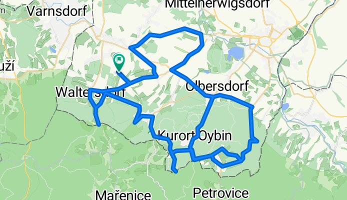
Overview
About this route
- -:--
- Duration
- 65.2 km
- Distance
- 1,109 m
- Ascent
- 1,104 m
- Descent
- ---
- Avg. speed
- ---
- Max. altitude
Route quality
Waytypes & surfaces along the route
Waytypes
Busy road
35.3 km
(54 %)
Road
14.7 km
(23 %)
Surfaces
Paved
53.9 km
(83 %)
Unpaved
0.3 km
(<1 %)
Asphalt
51.6 km
(79 %)
Paved (undefined)
2.1 km
(3 %)
Continue with Bikemap
Use, edit, or download this cycling route
You would like to ride Ostern 2013 Zittauer Gebirge or customize it for your own trip? Here is what you can do with this Bikemap route:
Free features
- Save this route as favorite or in collections
- Copy & plan your own version of this route
- Sync your route with Garmin or Wahoo
Premium features
Free trial for 3 days, or one-time payment. More about Bikemap Premium.
- Navigate this route on iOS & Android
- Export a GPX / KML file of this route
- Create your custom printout (try it for free)
- Download this route for offline navigation
Discover more Premium features.
Get Bikemap PremiumFrom our community
Other popular routes starting in Großschönau
 Around Zittau
- Distance
- 58.4 km
- Ascent
- 587 m
- Descent
- 588 m
- Location
- Großschönau, Saxony, Germany
 RTF "Mit Trixi durch die Oberlausitz" 2011 120km
- Distance
- 107.9 km
- Ascent
- 683 m
- Descent
- 683 m
- Location
- Großschönau, Saxony, Germany
 Tour de Oppes, RTF Oberlausitz
- Distance
- 115.6 km
- Ascent
- 1,261 m
- Descent
- 1,212 m
- Location
- Großschönau, Saxony, Germany
 Rauchberg
- Distance
- 28.5 km
- Ascent
- 370 m
- Descent
- 202 m
- Location
- Großschönau, Saxony, Germany
 Großschönau - Liberec
- Distance
- 91.7 km
- Ascent
- 1,047 m
- Descent
- 1,052 m
- Location
- Großschönau, Saxony, Germany
 Variante Waltersdorf
- Distance
- 36.2 km
- Ascent
- 407 m
- Descent
- 408 m
- Location
- Großschönau, Saxony, Germany
 Jarní prolog1
- Distance
- 4.7 km
- Ascent
- 270 m
- Descent
- 0 m
- Location
- Großschönau, Saxony, Germany
 Rund um den Eigen
- Distance
- 79.8 km
- Ascent
- 738 m
- Descent
- 784 m
- Location
- Großschönau, Saxony, Germany
Open it in the app