

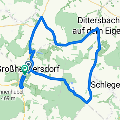
Landskrontour
A cycling route starting in Großhennersdorf, Saxony, Germany.
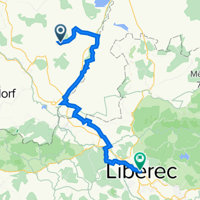
Overview
About this route
SchöneTour durch die Oberlausitz, durchgehend Rennrad geeignet. Hauptsächlich Nebenstraßen oder mit Radweg (B99).
- -:--
- Duration
- 60.5 km
- Distance
- 538 m
- Ascent
- 539 m
- Descent
- ---
- Avg. speed
- 393 m
- Max. altitude
Route quality
Waytypes & surfaces along the route
Waytypes
Busy road
22.3 km
(37 %)
Road
18.3 km
(30 %)
Surfaces
Paved
28 km
(46 %)
Unpaved
2.2 km
(4 %)
Asphalt
23.6 km
(39 %)
Paved (undefined)
3.3 km
(5 %)
Continue with Bikemap
Use, edit, or download this cycling route
You would like to ride Landskrontour or customize it for your own trip? Here is what you can do with this Bikemap route:
Free features
- Save this route as favorite or in collections
- Copy & plan your own version of this route
- Sync your route with Garmin or Wahoo
Premium features
Free trial for 3 days, or one-time payment. More about Bikemap Premium.
- Navigate this route on iOS & Android
- Export a GPX / KML file of this route
- Create your custom printout (try it for free)
- Download this route for offline navigation
Discover more Premium features.
Get Bikemap PremiumFrom our community
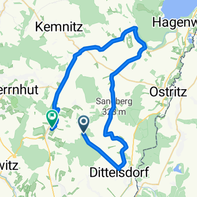
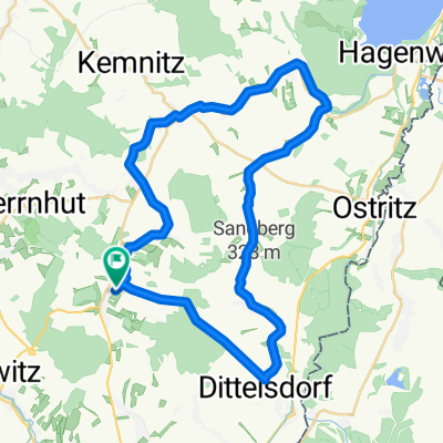
Other popular routes starting in Großhennersdorf
 Obere Dorfstraße 70C nach Bergstraße 29A
- Distance
- 24.3 km
- Ascent
- 187 m
- Descent
- 224 m
- Location
- Großhennersdorf, Saxony, Germany
 K8631 nach Bergstraße 29A
- Distance
- 34.5 km
- Ascent
- 237 m
- Descent
- 282 m
- Location
- Großhennersdorf, Saxony, Germany
 Testroute Ger
- Distance
- 13 km
- Ascent
- 118 m
- Descent
- 65 m
- Location
- Großhennersdorf, Saxony, Germany
 Landskrontour
- Distance
- 60.5 km
- Ascent
- 538 m
- Descent
- 539 m
- Location
- Großhennersdorf, Saxony, Germany
 Bergstraße 27B nach Bergstraße 29A
- Distance
- 39.4 km
- Ascent
- 288 m
- Descent
- 290 m
- Location
- Großhennersdorf, Saxony, Germany
 T2 Neundorf - Ostritz - Kloster Marienthal - Zittau - Kopaczow - Vaclavice - Chrastava - Machnin - Liberec
- Distance
- 59.7 km
- Ascent
- 597 m
- Descent
- 528 m
- Location
- Großhennersdorf, Saxony, Germany
 Oderwitz Herrnhut Görlitz
- Distance
- 47.5 km
- Ascent
- 404 m
- Descent
- 482 m
- Location
- Großhennersdorf, Saxony, Germany
 GraphHopper Track
- Distance
- 40.5 km
- Ascent
- 515 m
- Descent
- 402 m
- Location
- Großhennersdorf, Saxony, Germany
Open it in the app