
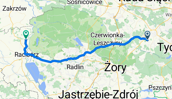
Laziska - Brzeznica
A cycling route starting in Łaziska Górne, Silesian Voivodeship, Poland.
Overview
About this route
- -:--
- Duration
- 58.7 km
- Distance
- 306 m
- Ascent
- 385 m
- Descent
- ---
- Avg. speed
- ---
- Max. altitude

Route quality
Waytypes & surfaces along the route
Waytypes
Road
11.7 km
(20 %)
Track
5.3 km
(9 %)
Surfaces
Paved
39.9 km
(68 %)
Unpaved
5.9 km
(10 %)
Asphalt
38.1 km
(65 %)
Gravel
3.5 km
(6 %)
Route highlights
Points of interest along the route
Point of interest after 58.7 km
Continue with Bikemap
Use, edit, or download this cycling route
You would like to ride Laziska - Brzeznica or customize it for your own trip? Here is what you can do with this Bikemap route:
Free features
- Save this route as favorite or in collections
- Copy & plan your own version of this route
- Sync your route with Garmin or Wahoo
Premium features
Free trial for 3 days, or one-time payment. More about Bikemap Premium.
- Navigate this route on iOS & Android
- Export a GPX / KML file of this route
- Create your custom printout (try it for free)
- Download this route for offline navigation
Discover more Premium features.
Get Bikemap PremiumFrom our community
Other popular routes starting in Łaziska Górne
 Łaziska Górne - Pszczyna
- Distance
- 28.6 km
- Ascent
- 86 m
- Descent
- 184 m
- Location
- Łaziska Górne, Silesian Voivodeship, Poland
 kardynała Stefana Wyszyńskiego 5, Łaziska Górne do Gostyńska 10, Łaziska Górne
- Distance
- 29.9 km
- Ascent
- 120 m
- Descent
- 194 m
- Location
- Łaziska Górne, Silesian Voivodeship, Poland
 Laziska - Klobuck
- Distance
- 116.3 km
- Ascent
- 320 m
- Descent
- 366 m
- Location
- Łaziska Górne, Silesian Voivodeship, Poland
 KoRNO
KoRNO- Distance
- 41.1 km
- Ascent
- 200 m
- Descent
- 228 m
- Location
- Łaziska Górne, Silesian Voivodeship, Poland
 Powstańców 22, Łaziska Górne do Tadeusza Kościuszki 113, Łaziska Górne
- Distance
- 57.8 km
- Ascent
- 405 m
- Descent
- 398 m
- Location
- Łaziska Górne, Silesian Voivodeship, Poland
 Laziska - Naklo Slaskie
- Distance
- 43.6 km
- Ascent
- 296 m
- Descent
- 273 m
- Location
- Łaziska Górne, Silesian Voivodeship, Poland
 Laziska - Brzeznica
- Distance
- 58.7 km
- Ascent
- 306 m
- Descent
- 385 m
- Location
- Łaziska Górne, Silesian Voivodeship, Poland
 Laziska - Czerwiecice
- Distance
- 59.4 km
- Ascent
- 354 m
- Descent
- 389 m
- Location
- Łaziska Górne, Silesian Voivodeship, Poland
Open it in the app