audressein-st. girons-massat-col de lers-les cabannes
- 91.4 km
- 1,170 m
- 1,169 m
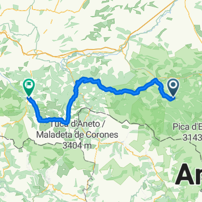
- Saint-Girons, Occitanie, France
A cycling route starting in Saint-Girons, Occitanie, France.
Overview
Castet d'Aleu Arreau
created this 12 years ago
Route quality
Quiet road
3.9 km
(3 %)
Road
2.6 km
(2 %)
Paved
82.2 km
(63 %)
Asphalt
82.2 km
(63 %)
Undefined
48.3 km
(37 %)
Continue with Bikemap
You would like to ride Tag 3 Sonntag 1.9.13 or customize it for your own trip? Here is what you can do with this Bikemap route:
Free trial for 3 days, or one-time payment. More about Bikemap Premium.
Discover more Premium features.
Get Bikemap PremiumFrom our community
Open it in the app