

Aigen - Plöckenstein - Aigen
A cycling route starting in Aigen im Mühlkreis, Upper Austria, Austria.
Overview
About this route
approx. 1220 meters of elevation gain. Very demanding and therefore only suitable for advanced riders!!!
- -:--
- Duration
- 51.3 km
- Distance
- 1,001 m
- Ascent
- 1,001 m
- Descent
- ---
- Avg. speed
- ---
- Max. altitude

Continue with Bikemap
Use, edit, or download this cycling route
You would like to ride Aigen - Plöckenstein - Aigen or customize it for your own trip? Here is what you can do with this Bikemap route:
Free features
- Save this route as favorite or in collections
- Copy & plan your own version of this route
- Sync your route with Garmin or Wahoo
Premium features
Free trial for 3 days, or one-time payment. More about Bikemap Premium.
- Navigate this route on iOS & Android
- Export a GPX / KML file of this route
- Create your custom printout (try it for free)
- Download this route for offline navigation
Discover more Premium features.
Get Bikemap PremiumFrom our community
Other popular routes starting in Aigen im Mühlkreis
 Böhmerwald -Tour
- Distance
- 69.5 km
- Ascent
- 532 m
- Descent
- 531 m
- Location
- Aigen im Mühlkreis, Upper Austria, Austria
 Gründwaldrunde ca. 8,5km, 300Hm
- Distance
- 8.8 km
- Ascent
- 338 m
- Descent
- 336 m
- Location
- Aigen im Mühlkreis, Upper Austria, Austria
 Aigen - St. Thomas - Lipno
- Distance
- 60.6 km
- Ascent
- 676 m
- Descent
- 676 m
- Location
- Aigen im Mühlkreis, Upper Austria, Austria
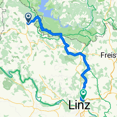
 Aigen Schlägel - Lipno - Linz
- Distance
- 144.3 km
- Ascent
- 781 m
- Descent
- 1,078 m
- Location
- Aigen im Mühlkreis, Upper Austria, Austria
 Mühltalradweg
- Distance
- 28.9 km
- Ascent
- 241 m
- Descent
- 518 m
- Location
- Aigen im Mühlkreis, Upper Austria, Austria
 Mühlviertel bis Linz
- Distance
- 74.2 km
- Ascent
- 1,188 m
- Descent
- 1,161 m
- Location
- Aigen im Mühlkreis, Upper Austria, Austria
 Aigen - Kirchbach - St. Wolfgang - Aigen
- Distance
- 15.7 km
- Ascent
- 427 m
- Descent
- 430 m
- Location
- Aigen im Mühlkreis, Upper Austria, Austria
 802 Sonnenwald
- Distance
- 24.2 km
- Ascent
- 330 m
- Descent
- 331 m
- Location
- Aigen im Mühlkreis, Upper Austria, Austria
Open it in the app