Vysočina
- 243.9 km
- 1,361 m
- 1,364 m
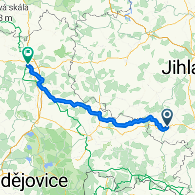
- Telč, Kraj Vysočina, Czechia
A cycling route starting in Telč, Kraj Vysočina, Czechia.
Overview
převážně velmi kvalitní asfaltový povrch
bez strmého stoupání
málo aut ve městě i na silnici 406
created this 16 years ago
Route quality
Road
4.8 km
(30 %)
Quiet road
3.5 km
(22 %)
Paved
1.1 km
(7 %)
Asphalt
1.1 km
(7 %)
Undefined
14.7 km
(93 %)
Continue with Bikemap
You would like to ride ITT 16 or customize it for your own trip? Here is what you can do with this Bikemap route:
Free trial for 3 days, or one-time payment. More about Bikemap Premium.
Discover more Premium features.
Get Bikemap PremiumFrom our community
Open it in the app