

Kanał Raduni i Radunia
A cycling route starting in Gdańsk, Pomeranian Voivodeship, Poland.
Overview
About this route
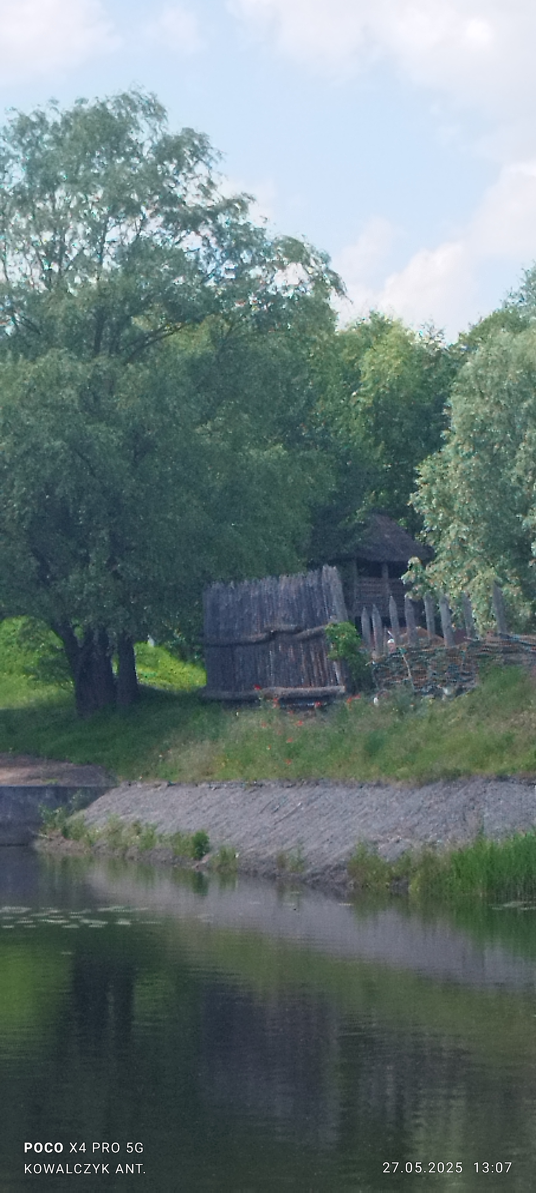
Trasa rozpoczyna się i kończy pod Urzędem Miasta w Gdańsku. Przebiega wzdłuż Kanału Raduni do Pruszcza Gdańskiego. Skąd wraca wzdłuż Rzeki Raduni. Trasa mieszana i bardzo malownicza, płaska nie męcząca. Zabytków na pęczki - nie bede pisał jakie warto samemu zobaczy
- -:--
- Duration
- 35.8 km
- Distance
- 46 m
- Ascent
- 47 m
- Descent
- ---
- Avg. speed
- ---
- Avg. speed
Route quality
Waytypes & surfaces along the route
Waytypes
Quiet road
16.5 km
(46 %)
Pedestrian area
8.4 km
(23 %)
Surfaces
Paved
29.2 km
(82 %)
Unpaved
1.8 km
(5 %)
Asphalt
8.8 km
(25 %)
Concrete
8.4 km
(24 %)
Continue with Bikemap
Use, edit, or download this cycling route
You would like to ride Kanał Raduni i Radunia or customize it for your own trip? Here is what you can do with this Bikemap route:
Free features
- Save this route as favorite or in collections
- Copy & plan your own version of this route
- Sync your route with Garmin or Wahoo
Premium features
Free trial for 3 days, or one-time payment. More about Bikemap Premium.
- Navigate this route on iOS & Android
- Export a GPX / KML file of this route
- Create your custom printout (try it for free)
- Download this route for offline navigation
Discover more Premium features.
Get Bikemap PremiumFrom our community
Other popular routes starting in Gdańsk
 Henryka Hubertusa Jabłońskiego 15A do Henryka Hubertusa Jabłońskiego 15A
- Distance
- 23.7 km
- Ascent
- 76 m
- Descent
- 59 m
- Location
- Gdańsk, Pomeranian Voivodeship, Poland
 NewPort Sopot 30
- Distance
- 31.2 km
- Ascent
- 88 m
- Descent
- 91 m
- Location
- Gdańsk, Pomeranian Voivodeship, Poland
 kolko otominskie 1
- Distance
- 27.9 km
- Ascent
- 234 m
- Descent
- 237 m
- Location
- Gdańsk, Pomeranian Voivodeship, Poland
 06 - Przez trtójmiejskie lasy
- Distance
- 33.1 km
- Ascent
- 335 m
- Descent
- 336 m
- Location
- Gdańsk, Pomeranian Voivodeship, Poland
 Pętla Gdańsk-Straszyn-Lublewo-Gdańsk
- Distance
- 33.4 km
- Ascent
- 267 m
- Descent
- 267 m
- Location
- Gdańsk, Pomeranian Voivodeship, Poland
 Trasa z Oruni na wyspę Sobieszewską - wariant 2
- Distance
- 16.6 km
- Ascent
- 0 m
- Descent
- 7 m
- Location
- Gdańsk, Pomeranian Voivodeship, Poland
 Franciszka Bohomolca 3B, Gdańsk do Gdańska 1A, Pszczółki
- Distance
- 30.8 km
- Ascent
- 134 m
- Descent
- 124 m
- Location
- Gdańsk, Pomeranian Voivodeship, Poland
 Gdańsk-Słowiński National Park-Hel
- Distance
- 307.3 km
- Ascent
- 738 m
- Descent
- 745 m
- Location
- Gdańsk, Pomeranian Voivodeship, Poland
Open it in the app