Coole Tour CLONED FROM ROUTE 988130
A cycling route starting in Hohenpeißenberg, Bavaria, Germany.
Overview
About this route
Kleine Tour,rund um den Hohenpeissenberg mit geilen, teilw. techn. anspruchsvollen, Trail-Einlagen. Danach durchs Ammertal, bis in den Pollinger Biergarten ;-). Nach ´ner g´scheiten Brotzeit zurück nach HPG. Wenn man in Pbg, am Fußdes Hohen P., direkt nach der Eisenbahnbrücke re. abbiegt und über St.Georg den H.P. "erklimmt", findet diese Tour ein schöneres Ende! Man wird dann zum Abschluß nochmals mit dem Schönsten Rundumblick Bayerns belohnt.
Blick auf:
Wetterstein-, Karwendel-, Ester-Gebirge.
Und auf der anderen Seite:
Ammer- u. Starnbergersee
- -:--
- Duration
- 50.3 km
- Distance
- 513 m
- Ascent
- 513 m
- Descent
- ---
- Avg. speed
- ---
- Avg. speed
Continue with Bikemap
Use, edit, or download this cycling route
You would like to ride Coole Tour CLONED FROM ROUTE 988130 or customize it for your own trip? Here is what you can do with this Bikemap route:
Free features
- Save this route as favorite or in collections
- Copy & plan your own version of this route
- Sync your route with Garmin or Wahoo
Premium features
Free trial for 3 days, or one-time payment. More about Bikemap Premium.
- Navigate this route on iOS & Android
- Export a GPX / KML file of this route
- Create your custom printout (try it for free)
- Download this route for offline navigation
Discover more Premium features.
Get Bikemap PremiumFrom our community
Other popular routes starting in Hohenpeißenberg
- Brennerroute Teil 1
- Distance
- 109.6 km
- Ascent
- 825 m
- Descent
- 970 m
- Location
- Hohenpeißenberg, Bavaria, Germany
- Hoher Peissenberg Runde
- Distance
- 14.4 km
- Ascent
- 248 m
- Descent
- 248 m
- Location
- Hohenpeißenberg, Bavaria, Germany
- Ammersee-Hohenpeißenberg
- Distance
- 97.1 km
- Ascent
- 597 m
- Descent
- 597 m
- Location
- Hohenpeißenberg, Bavaria, Germany
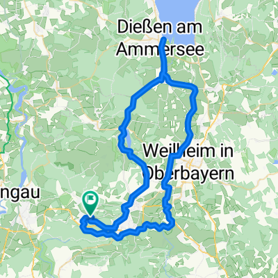
- Hohenpeißenberg - Forst - Schongau - Hohenpeißenberg
- Distance
- 45.9 km
- Ascent
- 637 m
- Descent
- 636 m
- Location
- Hohenpeißenberg, Bavaria, Germany
- kenzenhütte
- Distance
- 49.2 km
- Ascent
- 820 m
- Descent
- 285 m
- Location
- Hohenpeißenberg, Bavaria, Germany
- Hohenpeißenbg.-Aufkirch
- Distance
- 38.3 km
- Ascent
- 201 m
- Descent
- 237 m
- Location
- Hohenpeißenberg, Bavaria, Germany
- Coole Tour
- Distance
- 50.3 km
- Ascent
- 513 m
- Descent
- 513 m
- Location
- Hohenpeißenberg, Bavaria, Germany
- Illach
- Distance
- 47.7 km
- Ascent
- 253 m
- Descent
- 252 m
- Location
- Hohenpeißenberg, Bavaria, Germany
Open it in the app