
Teijo Hiking Area CLONED FROM ROUTE 324949
A cycling route starting in Perniö, Southwest Finland, Finland.
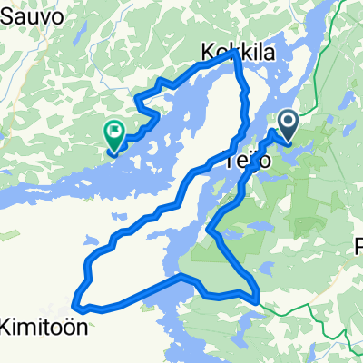
Overview
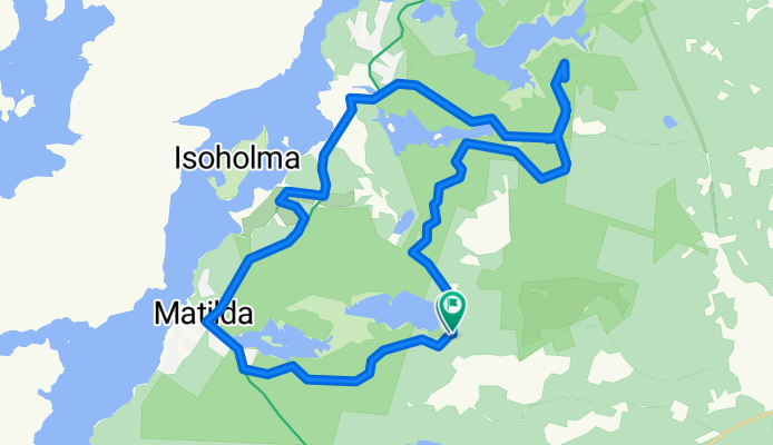
About this route
Nette Runde durch das Teijo Wandergebiet.
- -:--
- Duration
- 27.7 km
- Distance
- 223 m
- Ascent
- 223 m
- Descent
- ---
- Avg. speed
- ---
- Max. altitude

Route quality
Waytypes & surfaces along the route
Waytypes
Road
10.4 km
(38 %)
Track
7.9 km
(29 %)
Surfaces
Paved
8.9 km
(32 %)
Unpaved
7.1 km
(26 %)
Paved (undefined)
4.7 km
(17 %)
Asphalt
4.1 km
(15 %)
Continue with Bikemap
Use, edit, or download this cycling route
You would like to ride Teijo Hiking Area CLONED FROM ROUTE 324949 or customize it for your own trip? Here is what you can do with this Bikemap route:
Free features
- Save this route as favorite or in collections
- Copy & plan your own version of this route
- Sync your route with Garmin or Wahoo
Premium features
Free trial for 3 days, or one-time payment. More about Bikemap Premium.
- Navigate this route on iOS & Android
- Export a GPX / KML file of this route
- Create your custom printout (try it for free)
- Download this route for offline navigation
Discover more Premium features.
Get Bikemap PremiumFrom our community
Other popular routes starting in Perniö
 20150720_135608.gpx
- Distance
- 21.7 km
- Ascent
- 201 m
- Descent
- 188 m
- Location
- Perniö, Southwest Finland, Finland
 teijo
teijo- Distance
- 7.6 km
- Ascent
- 0 m
- Descent
- 0 m
- Location
- Perniö, Southwest Finland, Finland
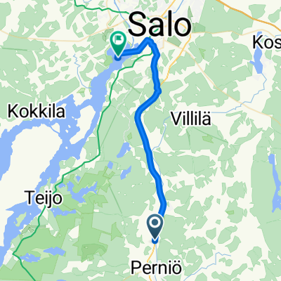
 Heikkiläntie, Perniö to Matildan puistotie 4, Mathildedal
- Distance
- 15.8 km
- Ascent
- 176 m
- Descent
- 143 m
- Location
- Perniö, Southwest Finland, Finland
 Teijontie 309, Salo to Teijontie 311, Salo
- Distance
- 13 km
- Ascent
- 112 m
- Descent
- 111 m
- Location
- Perniö, Southwest Finland, Finland
 Teijo Hiking Area CLONED FROM ROUTE 324949
- Distance
- 27.7 km
- Ascent
- 223 m
- Descent
- 223 m
- Location
- Perniö, Southwest Finland, Finland
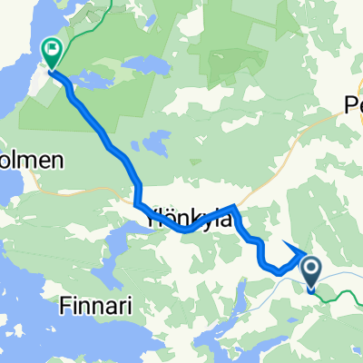
 Teijontie 315, Salo to Lanskalantie 56, Salo
- Distance
- 17.5 km
- Ascent
- 137 m
- Descent
- 143 m
- Location
- Perniö, Southwest Finland, Finland
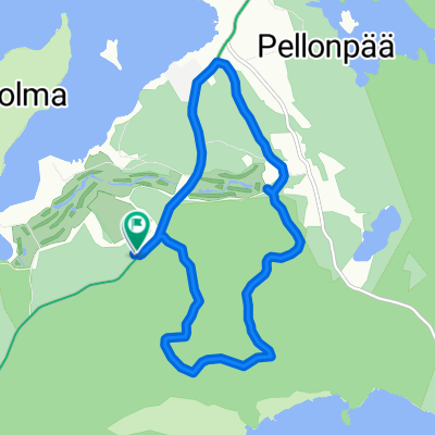
 Teijo Hiking Area
- Distance
- 27.6 km
- Ascent
- 314 m
- Descent
- 321 m
- Location
- Perniö, Southwest Finland, Finland
 Onnelannummi (Teijo) - Ahtela (Sauvo)
- Distance
- 69.5 km
- Ascent
- 746 m
- Descent
- 754 m
- Location
- Perniö, Southwest Finland, Finland
Open it in the app