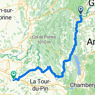
Collonges - Creys-Mépieu
- 94.8 km
- 629 m
- 862 m
- Collonges, Auvergne-Rhône-Alpes, France
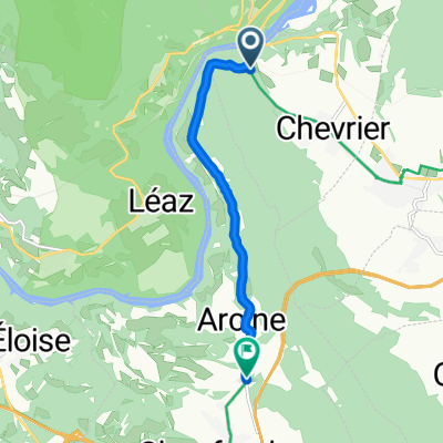
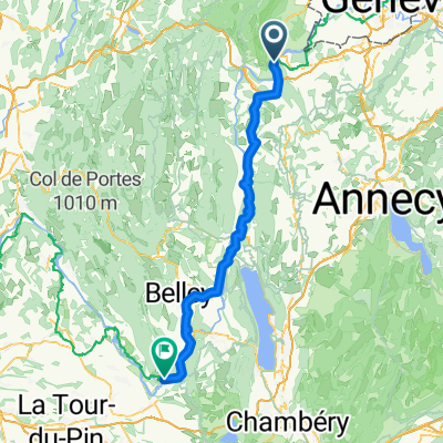
Collonges
Bellegarde s. Valserine
Col de la Faucille
Col du Marchairuz
Burtigny
Road
19.8 km18 %Quiet road
3.3 km3 %Paved
79.2 km(72 %)Unpaved
1.1 km(1 %)Asphalt
79.2 km72 %Ground
1.1 km1 %Undefined
29.7 km27 %Free trial for 3 days, or one-time payment. More about Bikemap Premium.
Discover more Premium features.
Get Bikemap PremiumOpen it in the app