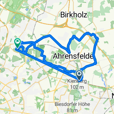
Wartenberg Rundfahrt
- 16.7 km
- 36 m
- 38 m
- Marzahn, State of Berlin, Germany
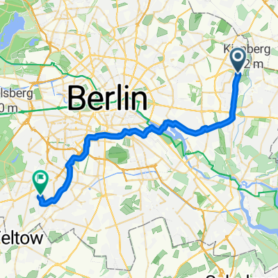
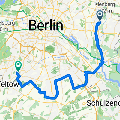
A cycling route starting in Marzahn, State of Berlin, Germany.
Overview
The Rüdersdorf round route.
Starting point Marzahner Promenade
Via Rüdersdorf to Erkner
Return route through beautiful Köpenick
Along the Wuhle back to the starting point
created this 12 years ago
Route quality
Path
14.6 km
(24 %)
Quiet road
13.9 km
(23 %)
Paved
44.9 km
(74 %)
Unpaved
0.6 km
(1 %)
Asphalt
37 km
(61 %)
Concrete
7.3 km
(12 %)
Route highlights

Kurzzeitig gab es einen Feldweg. Für Rennräder wäre hier Schluss gewesen.


Ruhige Strassen mit wenig Verkehr.


Rüdersdorf


Continue with Bikemap
You would like to ride Rüdersdorfer Rundweg or customize it for your own trip? Here is what you can do with this Bikemap route:
Free trial for 3 days, or one-time payment. More about Bikemap Premium.
Discover more Premium features.
Get Bikemap PremiumFrom our community
Open it in the app