

Rheintour 2012
A cycling route starting in Neuhausen, Canton of Schaffhausen, Switzerland.
Overview
About this route
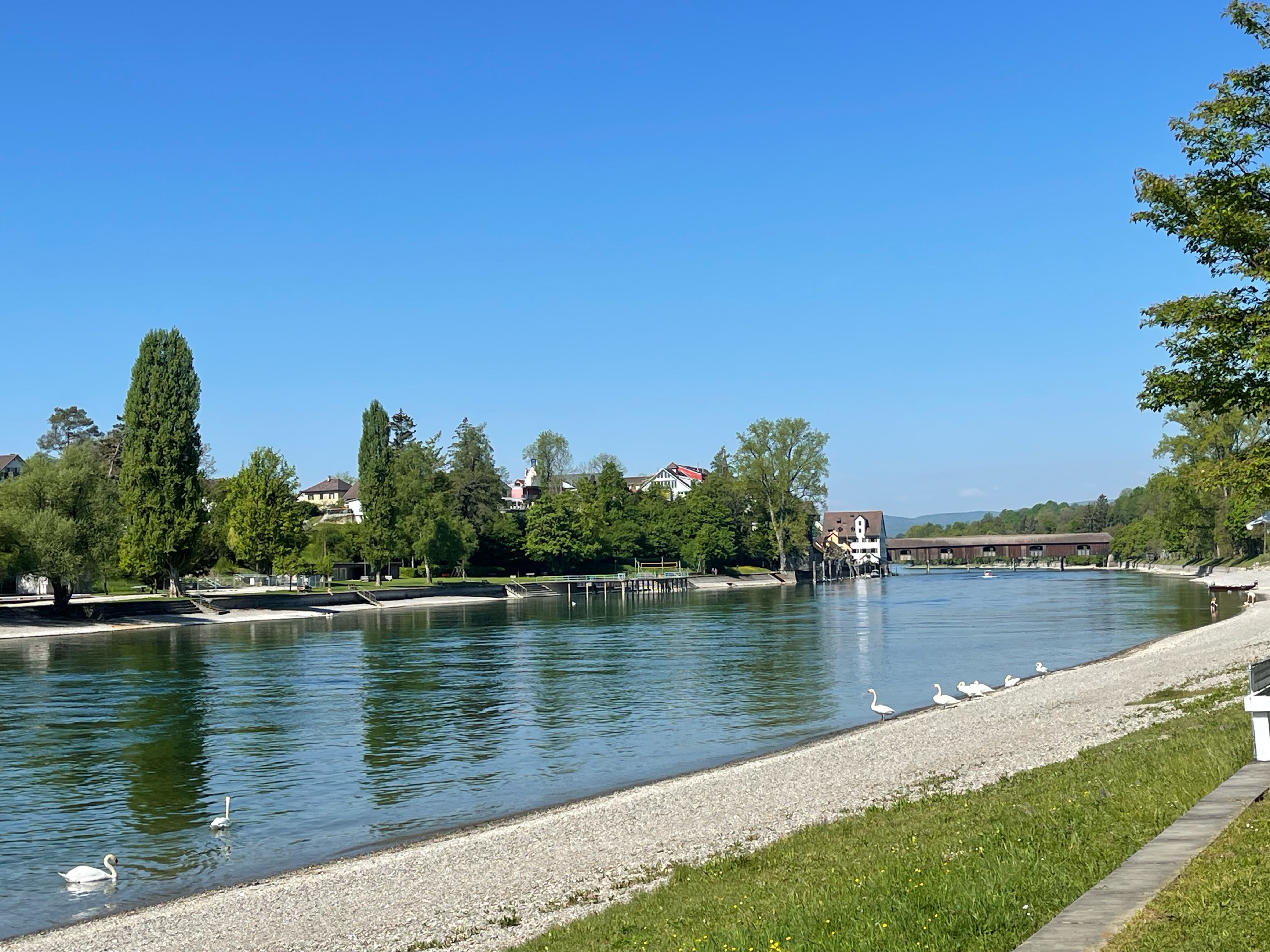
This year’s tour was a continuation of our Lake Constance loop from 2007. On August 12th, we started at the Rhine Falls in Schaffhausen and reached the Deutsches Eck in Koblenz as scheduled on August 20th. With over 750 km, this was our (so far) longest tour.
- -:--
- Duration
- 762.6 km
- Distance
- 278 m
- Ascent
- 600 m
- Descent
- ---
- Avg. speed
- ---
- Max. altitude

Route quality
Waytypes & surfaces along the route
Waytypes
Track
236.4 km
(31 %)
Path
152.5 km
(20 %)
Surfaces
Paved
503.3 km
(66 %)
Unpaved
160.1 km
(21 %)
Asphalt
472.8 km
(62 %)
Gravel
114.4 km
(15 %)
Continue with Bikemap
Use, edit, or download this cycling route
You would like to ride Rheintour 2012 or customize it for your own trip? Here is what you can do with this Bikemap route:
Free features
- Save this route as favorite or in collections
- Copy & plan your own version of this route
- Split it into stages to create a multi-day tour
- Sync your route with Garmin or Wahoo
Premium features
Free trial for 3 days, or one-time payment. More about Bikemap Premium.
- Navigate this route on iOS & Android
- Export a GPX / KML file of this route
- Create your custom printout (try it for free)
- Download this route for offline navigation
Discover more Premium features.
Get Bikemap PremiumFrom our community
Other popular routes starting in Neuhausen
 klein Crazy's Hardcoreradelrunde Part 2
- Distance
- 47.4 km
- Ascent
- 463 m
- Descent
- 463 m
- Location
- Neuhausen, Canton of Schaffhausen, Switzerland
 MTB Nauhausen-Andelfingen-Neuhausen
- Distance
- 41.6 km
- Ascent
- 436 m
- Descent
- 440 m
- Location
- Neuhausen, Canton of Schaffhausen, Switzerland
 zur Wiffe aber anders durch den Wald
- Distance
- 14 km
- Ascent
- 281 m
- Descent
- 317 m
- Location
- Neuhausen, Canton of Schaffhausen, Switzerland
 Neuhausen - Radolfszell
- Distance
- 43.7 km
- Ascent
- 290 m
- Descent
- 320 m
- Location
- Neuhausen, Canton of Schaffhausen, Switzerland
 Schaffhausen Munot
- Distance
- 5 km
- Ascent
- 73 m
- Descent
- 130 m
- Location
- Neuhausen, Canton of Schaffhausen, Switzerland
 Bodenseerunde
- Distance
- 259.7 km
- Ascent
- 281 m
- Descent
- 281 m
- Location
- Neuhausen, Canton of Schaffhausen, Switzerland
 Wiffe 74 Strandbad
- Distance
- 13.8 km
- Ascent
- 100 m
- Descent
- 129 m
- Location
- Neuhausen, Canton of Schaffhausen, Switzerland
 Bodenseeumrundung
- Distance
- 251 km
- Ascent
- 292 m
- Descent
- 315 m
- Location
- Neuhausen, Canton of Schaffhausen, Switzerland
Open it in the app