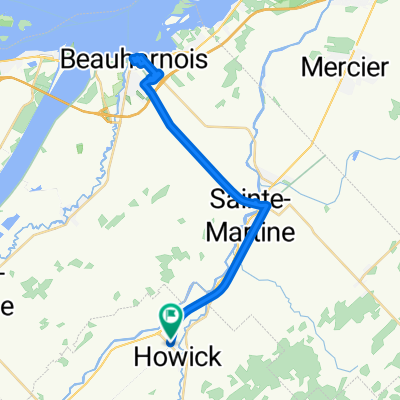
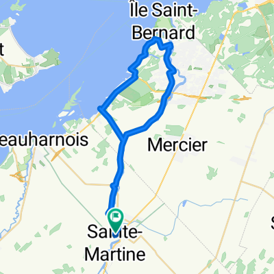
Covey Hill (St-Chrysostome
A cycling route starting in Sainte-Martine, Quebec, Canada.
Overview
About this route
- -:--
- Duration
- 73.7 km
- Distance
- 417 m
- Ascent
- 417 m
- Descent
- ---
- Avg. speed
- ---
- Avg. speed
Route quality
Waytypes & surfaces along the route
Waytypes
Road
40.8 km
(55 %)
Busy road
25.2 km
(34 %)
Surfaces
Paved
25.8 km
(35 %)
Asphalt
19.6 km
(27 %)
Paved (undefined)
6.2 km
(8 %)
Undefined
47.9 km
(65 %)
Continue with Bikemap
Use, edit, or download this cycling route
You would like to ride Covey Hill (St-Chrysostome or customize it for your own trip? Here is what you can do with this Bikemap route:
Free features
- Save this route as favorite or in collections
- Copy & plan your own version of this route
- Sync your route with Garmin or Wahoo
Premium features
Free trial for 3 days, or one-time payment. More about Bikemap Premium.
- Navigate this route on iOS & Android
- Export a GPX / KML file of this route
- Create your custom printout (try it for free)
- Download this route for offline navigation
Discover more Premium features.
Get Bikemap PremiumFrom our community
Other popular routes starting in Sainte-Martine
- De Howick à Huntingdon
- Distance
- 71.9 km
- Ascent
- 158 m
- Descent
- 157 m
- Location
- Sainte-Martine, Quebec, Canada
- Ste-Martine / Franklin / Ste-Martine
- Distance
- 86 km
- Ascent
- 161 m
- Descent
- 160 m
- Location
- Sainte-Martine, Quebec, Canada
- Circuit des bleuets
- Distance
- 75.8 km
- Ascent
- 207 m
- Descent
- 208 m
- Location
- Sainte-Martine, Quebec, Canada
- Ste. Martine to middle of Chateauguay and back
- Distance
- 32.6 km
- Ascent
- 46 m
- Descent
- 46 m
- Location
- Sainte-Martine, Quebec, Canada
- Saint- Jean- Chrysostome / covey hill
- Distance
- 57.7 km
- Ascent
- 531 m
- Descent
- 533 m
- Location
- Sainte-Martine, Quebec, Canada
- Ch de la Haute-Rivière, Ste-Martine à Rue Hervé, Châteauguay
- Distance
- 5.7 km
- Ascent
- 6 m
- Descent
- 9 m
- Location
- Sainte-Martine, Quebec, Canada
- 30-Parfun ontario
- Distance
- 102.9 km
- Ascent
- 186 m
- Descent
- 188 m
- Location
- Sainte-Martine, Quebec, Canada
- Circuit de la Rivière Châteauguay
- Distance
- 71.5 km
- Ascent
- 254 m
- Descent
- 253 m
- Location
- Sainte-Martine, Quebec, Canada
Open it in the app