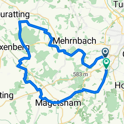
1.1_Ried_Mühldorf_Rennrad
- 89.3 km
- 450 m
- 498 m
- Ried im Innkreis, Upper Austria, Austria
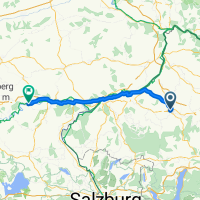
A cycling route starting in Ried im Innkreis, Upper Austria, Austria.
Overview
Ried-Ort-Eggerding-St. Marienkirchen-Taufkirchen-Sigharting-Kenating-Kopfing-Dornedt-Hochstraß-Zierrdt-Natternbach-Schmiedparz-Gaisbuchen-Ungernberg-Enzenkiechen-Raab-Zell a. d. Pram-Dorf a. d. Pram-Pram-Geiersberg-Ried
created this 12 years ago
Route quality
Road
24.1 km
(22 %)
Quiet road
17.5 km
(16 %)
Paved
23 km
(21 %)
Asphalt
18.6 km
(17 %)
Paved (undefined)
4.4 km
(4 %)
Undefined
86.4 km
(79 %)
Continue with Bikemap
You would like to ride Sauwald 2013 SG or customize it for your own trip? Here is what you can do with this Bikemap route:
Free trial for 3 days, or one-time payment. More about Bikemap Premium.
Discover more Premium features.
Get Bikemap PremiumFrom our community
Open it in the app