

Powstańców 17, Stanowice do Czynu Społecznego 8, Stanowice
- 20.8 km
- 79 m
- 112 m
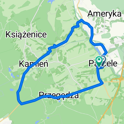
- Stanowice, Silesian Voivodeship, Poland
A cycling route starting in Stanowice, Silesian Voivodeship, Poland.
Overview
A fast route on asphalt roads, quite hilly for the area from Bujaków to Orzesze, including the Sosnowa hill and the Wawrzyńca climb.
created this 12 years ago
Route quality
Road
31.4 km
(62 %)
Quiet road
6.6 km
(13 %)
Paved
37.5 km
(74 %)
Asphalt
37.5 km
(74 %)
Undefined
13.2 km
(26 %)
Continue with Bikemap
You would like to ride Pętla Leszczyny-Bujaków-Palowice-Leszczyny or customize it for your own trip? Here is what you can do with this Bikemap route:
Free trial for 3 days, or one-time payment. More about Bikemap Premium.
Discover more Premium features.
Get Bikemap PremiumFrom our community
Open it in the app


