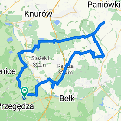
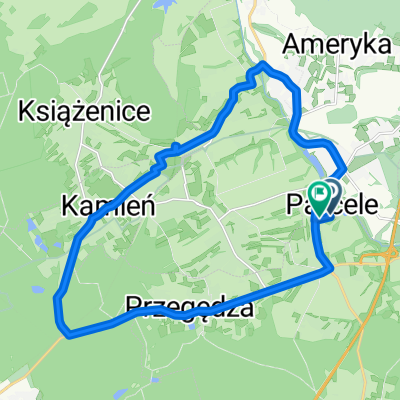
Pętla Leszczyny- Lasy Rudzkie-Leszczyny
- 75.6 km
- 202 m
- 201 m
- Stanowice, Silesian Voivodeship, Poland
A cycling route starting in Stanowice, Silesian Voivodeship, Poland.
Overview
One of the loop variants through the Ruda forests. 80% of the route is in the woods, passing the Cistercian Abbey in Rudy Raciborskie, the narrow-gauge railway station, and the Rybnik reservoir.
created this 12 years ago
Route quality
Track
40.1 km
(53 %)
Quiet road
19.7 km
(26 %)
Paved
40.1 km
(53 %)
Unpaved
30.3 km
(40 %)
Asphalt
37.8 km
(50 %)
Gravel
13.6 km
(18 %)
Continue with Bikemap
You would like to ride Pętla Leszczyny- Lasy Rudzkie-Leszczyny or customize it for your own trip? Here is what you can do with this Bikemap route:
Free trial for 3 days, or one-time payment. More about Bikemap Premium.
Discover more Premium features.
Get Bikemap PremiumFrom our community
Open it in the app