Leszczyny- Strumień-Pszczyna-Żory-Leszczyny
- 86.6 km
- 160 m
- 160 m
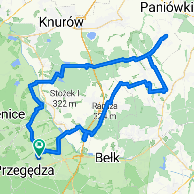
- Stanowice, Silesian Voivodeship, Poland
A cycling route starting in Stanowice, Silesian Voivodeship, Poland.
Overview
The route is 95% asphalt, the segment Strumien - Pszczyna runs along the Goczałkowice reservoir with a view of the Silesian Beskids, with the possibility of riding up to the dam at the reservoir and the castle in Pszczyna, the bison reserve, and the golf course.
created this 12 years ago
Route quality
Quiet road
25.1 km
(29 %)
Road
8.7 km
(10 %)
Paved
62.3 km
(72 %)
Unpaved
1.7 km
(2 %)
Asphalt
60.6 km
(70 %)
Paved (undefined)
1.7 km
(2 %)
Continue with Bikemap
You would like to ride Leszczyny- Strumień-Pszczyna-Żory-Leszczyny or customize it for your own trip? Here is what you can do with this Bikemap route:
Free trial for 3 days, or one-time payment. More about Bikemap Premium.
Discover more Premium features.
Get Bikemap PremiumFrom our community
Open it in the app