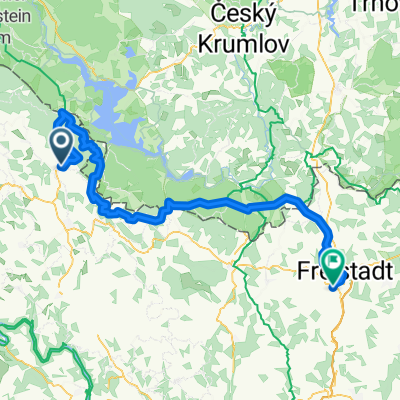
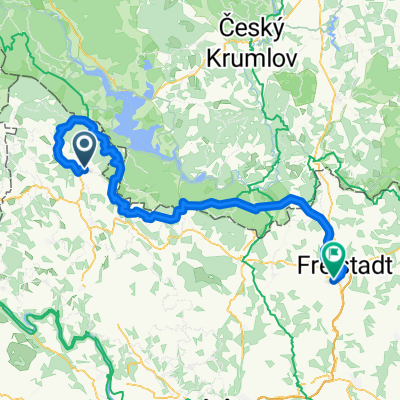
Aigen _ Linz
- 78 km
- 1,193 m
- 1,502 m
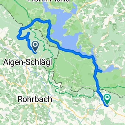
- Aigen im Mühlkreis, Upper Austria, Austria
A cycling route starting in Aigen im Mühlkreis, Upper Austria, Austria.
Overview
Beautiful mountain biking route (return via a very steep hiking trail - Rodlbahn and fitness path with water wheel)
created this 12 years ago
Continue with Bikemap
You would like to ride Gründwaldrunde ca. 8,5km, 300Hm or customize it for your own trip? Here is what you can do with this Bikemap route:
Free trial for 3 days, or one-time payment. More about Bikemap Premium.
Discover more Premium features.
Get Bikemap PremiumFrom our community
Open it in the app