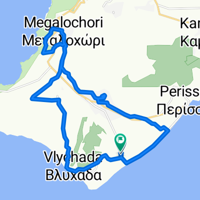
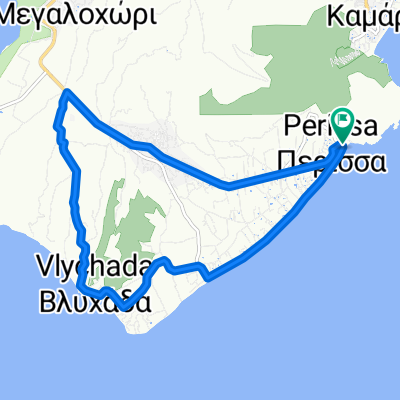
Way to Sunset
- 15.5 km
- 339 m
- 182 m
- Emporeío, South Aegean, Greece
A cycling route starting in Emporeío, South Aegean, Greece.
Overview
<span lang="EN-US">The way to sunset</span>
<span lang="EN-US">With the bike tour starting from the beautiful black sand beach of Perissa and finishing in Megalochori you have the chance not only to explore Santorini ‘s beauties from another point of view while getting in shape but to also admire one of world’s most famous sunsets .Exceptional for couples or more romantic souls who enjoy living life to the fullest.</span>
created this 12 years ago
Route quality
Quiet road
10.8 km
(70 %)
Road
3.6 km
(23 %)
Paved
2.3 km
(15 %)
Unpaved
3.3 km
(21 %)
Asphalt
2.3 km
(15 %)
Sand
1.5 km
(10 %)
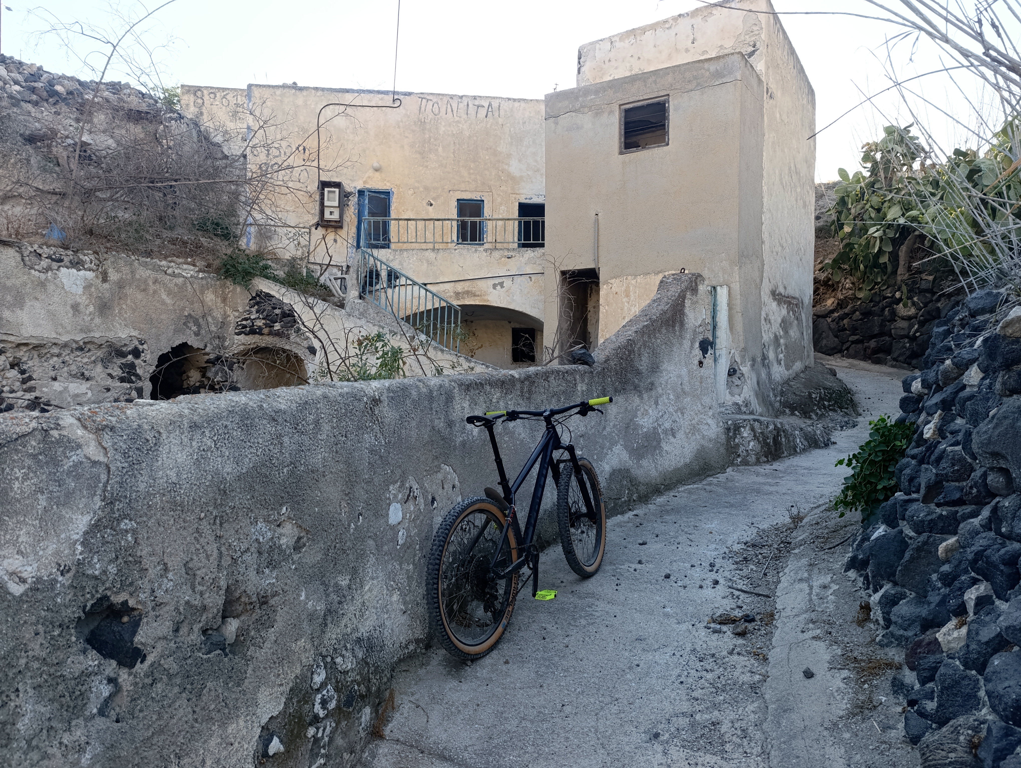
Route highlights


Continue with Bikemap
You would like to ride Way to Sunset or customize it for your own trip? Here is what you can do with this Bikemap route:
Free trial for 3 days, or one-time payment. More about Bikemap Premium.
Discover more Premium features.
Get Bikemap PremiumFrom our community
Open it in the app