
Polka Dot 'Spud Riley' Gran Fondo, 6 June 2010 CLONED FROM ROUTE 724665
A cycling route starting in Bramhall, England, United Kingdom.
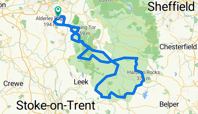
Overview
About this route
9th year - route altered to avoid land-slide in Goyt Valley. Includes Crowdecote, Longcliffe, Axe Edge and Dead Man's Hill.
- -:--
- Duration
- 163.8 km
- Distance
- 1,524 m
- Ascent
- 1,528 m
- Descent
- ---
- Avg. speed
- ---
- Max. altitude
Continue with Bikemap
Use, edit, or download this cycling route
You would like to ride Polka Dot 'Spud Riley' Gran Fondo, 6 June 2010 CLONED FROM ROUTE 724665 or customize it for your own trip? Here is what you can do with this Bikemap route:
Free features
- Save this route as favorite or in collections
- Copy & plan your own version of this route
- Split it into stages to create a multi-day tour
- Sync your route with Garmin or Wahoo
Premium features
Free trial for 3 days, or one-time payment. More about Bikemap Premium.
- Navigate this route on iOS & Android
- Export a GPX / KML file of this route
- Create your custom printout (try it for free)
- Download this route for offline navigation
Discover more Premium features.
Get Bikemap PremiumFrom our community
Other popular routes starting in Bramhall
 2/1 Restful route
- Distance
- 2.9 km
- Ascent
- 0 m
- Descent
- 0 m
- Location
- Bramhall, England, United Kingdom
 Macclesfield canal to Marple bridge
- Distance
- 18.7 km
- Ascent
- 149 m
- Descent
- 138 m
- Location
- Bramhall, England, United Kingdom
 high lane higher Poynton
- Distance
- 14.9 km
- Ascent
- 122 m
- Descent
- 121 m
- Location
- Bramhall, England, United Kingdom
 medium polkadot
- Distance
- 98.1 km
- Ascent
- 1,358 m
- Descent
- 1,358 m
- Location
- Bramhall, England, United Kingdom
 40k Cycle
- Distance
- 40.8 km
- Ascent
- 147 m
- Descent
- 148 m
- Location
- Bramhall, England, United Kingdom
 Polkadot Challenge 100
- Distance
- 157.4 km
- Ascent
- 1,541 m
- Descent
- 1,541 m
- Location
- Bramhall, England, United Kingdom
 Route to Leeds
- Distance
- 114.8 km
- Ascent
- 1,056 m
- Descent
- 1,101 m
- Location
- Bramhall, England, United Kingdom
 Recovered Route
- Distance
- 9.8 km
- Ascent
- 6 m
- Descent
- 0 m
- Location
- Bramhall, England, United Kingdom
Open it in the app