Dorog Lidl - Lábatlan platán büfé
- 18.5 km
- 56 m
- 67 m
- Dorog, Komárom-Esztergom, Hungary
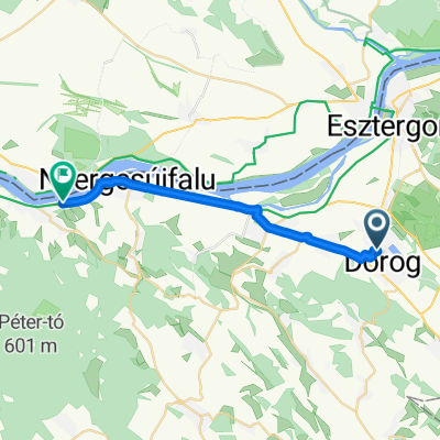
A cycling route starting in Dorog, Komárom-Esztergom, Hungary.
Overview
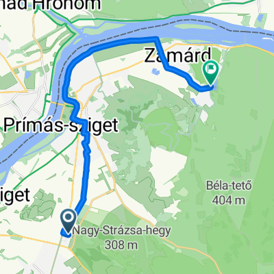
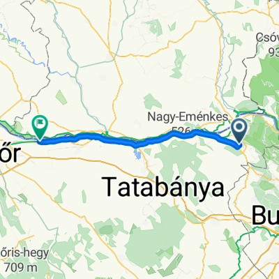
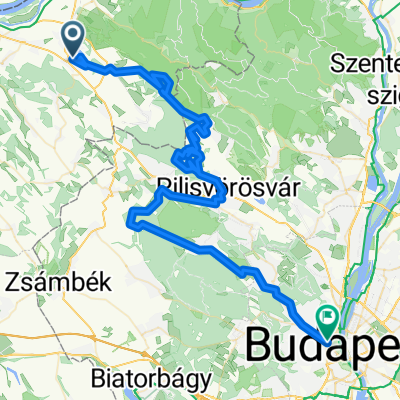
The road is paved up to the junction leading towards Pilismarót, sometimes better (especially route 10), sometimes very rough with potholes the size of frozen chunks... On some parts of route 10, cycling is banned for stretches of about 500-600 meters, but you can still ride through it. Traffic was manageable as well (on a Saturday...).
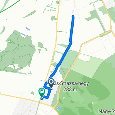
The unpaved section is quite bumpy, gravelly, and stony, I would only recommend it for MTB. After Pilismarót, first follow the blue + red markings, then from the first bigger junction follow only the red all the way to a large closed wire gate. Here you need to turn and climb the steep road following the red cross marking. Here comes the tough part! Give it your all! ;) a fairly intense climb on a rough road.
created this 12 years ago
Route quality
Track
11.9 km
(19 %)
Quiet road
10.6 km
(17 %)
Paved
11.3 km
(18 %)
Unpaved
18.8 km
(30 %)
Gravel
14.4 km
(23 %)
Asphalt
10 km
(16 %)
Route highlights
Gerecse TV-torony
Turistaház, büfé, víz
földút kezdete..
elég jó "kocsma" - ingyen víz, wc, stb.
Continue with Bikemap
You would like to ride Gerecse csúcstámadás 2013 or customize it for your own trip? Here is what you can do with this Bikemap route:
Free trial for 3 days, or one-time payment. More about Bikemap Premium.
Discover more Premium features.
Get Bikemap PremiumFrom our community
Open it in the app