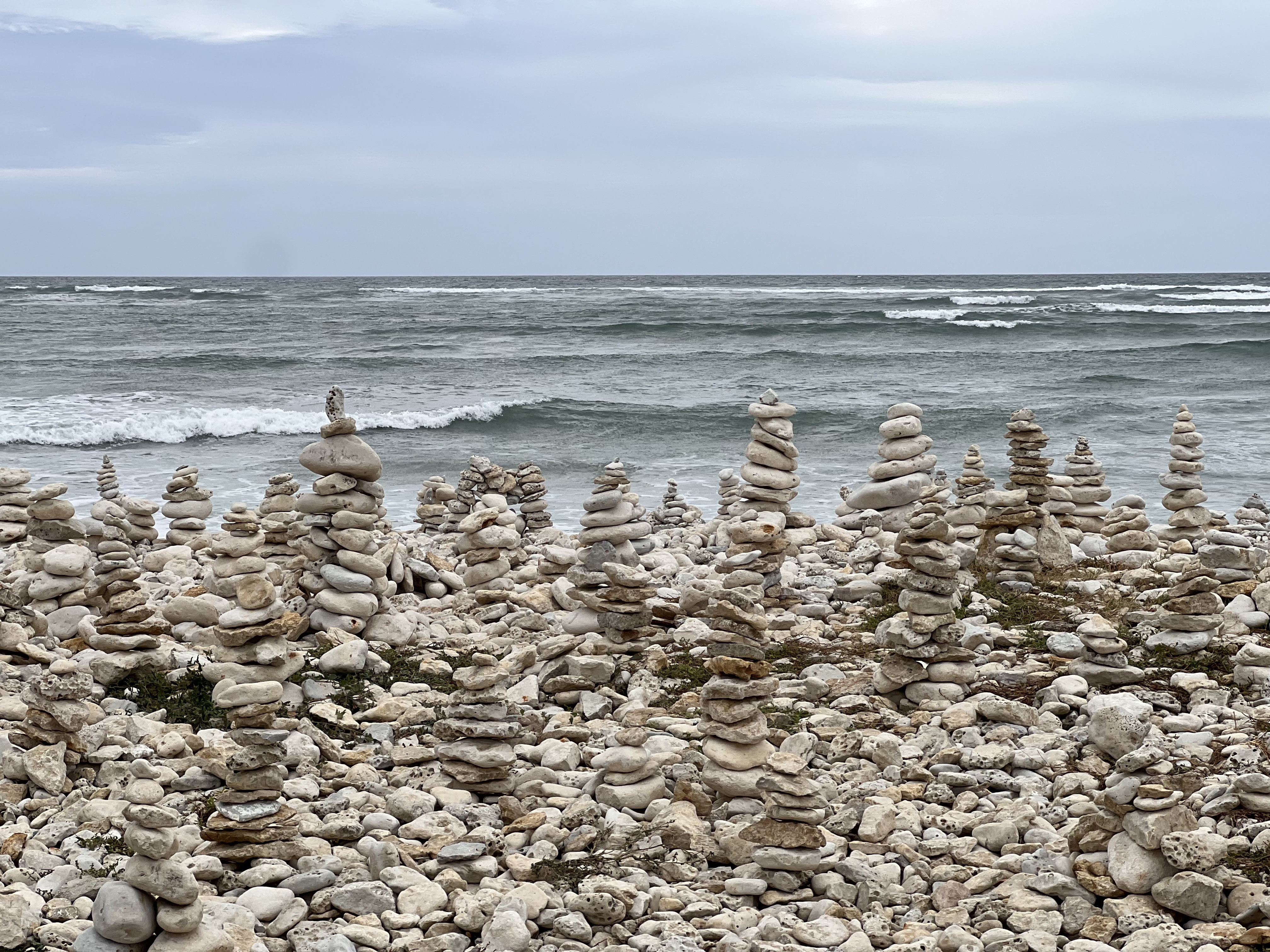
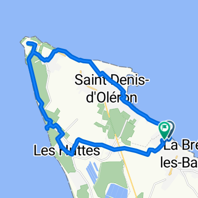
Naar Le Chassiron vuurtoren ,Gedeeltelijk gravel fietspad gedeeltelijk normale weg
- 13.7 km
- 12 m
- 12 m
- Saint-Denis-d'Oléron, Nouvelle-Aquitaine, France
A cycling route starting in Saint-Denis-d'Oléron, Nouvelle-Aquitaine, France.
Overview
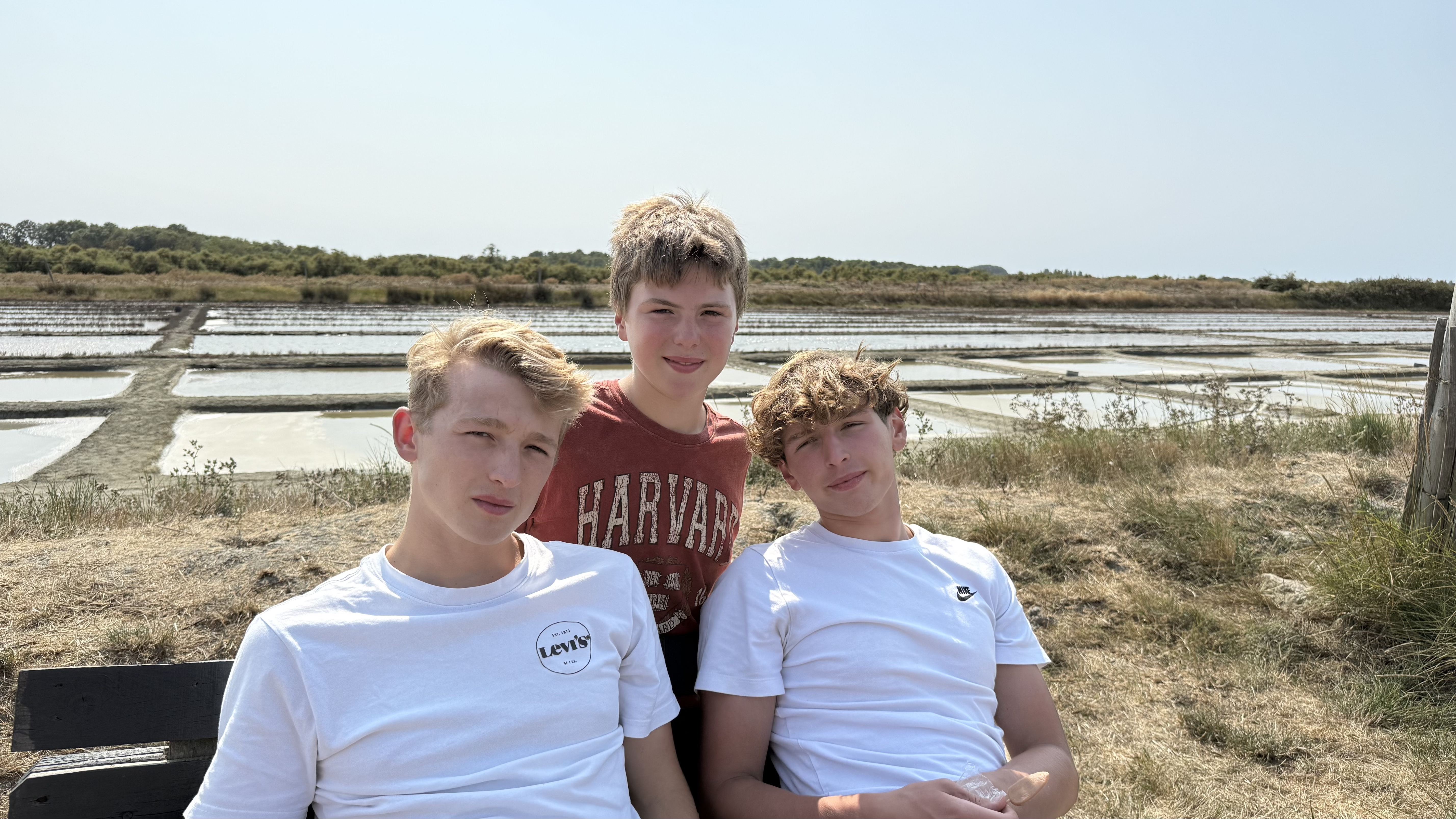
Beautiful route through pine forests, salt pans to Boyardville, and the return via vineyards interspersed with lovely small villages.
created this 12 years ago
Route quality
Cycleway
10.9 km
(37 %)
Road
6.5 km
(22 %)
Paved
16.6 km
(56 %)
Unpaved
4.1 km
(14 %)
Asphalt
16.3 km
(55 %)
Gravel
4.1 km
(14 %)
Continue with Bikemap
You would like to ride Camping La Campiére naar Boyardville door een bosrijke en afwisselende omgeving or customize it for your own trip? Here is what you can do with this Bikemap route:
Free trial for 3 days, or one-time payment. More about Bikemap Premium.
Discover more Premium features.
Get Bikemap PremiumFrom our community
Open it in the app