
Rundtour Trier-Tarforst - Kyll - Sauer - Mosel - Tarforst CLONED FROM ROUTE 1182175
A cycling route starting in Irsch, Rhineland-Palatinate, Germany.
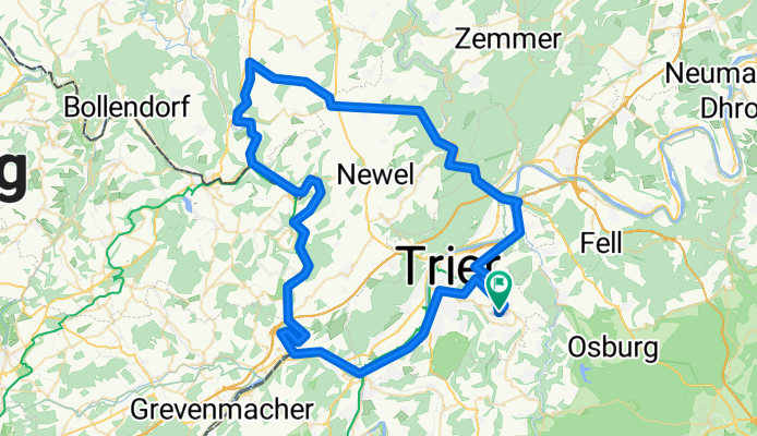
Overview
About this route
Short ride for fun with someone from Trier
- -:--
- Duration
- 84.5 km
- Distance
- 570 m
- Ascent
- 570 m
- Descent
- ---
- Avg. speed
- ---
- Max. altitude
Continue with Bikemap
Use, edit, or download this cycling route
You would like to ride Rundtour Trier-Tarforst - Kyll - Sauer - Mosel - Tarforst CLONED FROM ROUTE 1182175 or customize it for your own trip? Here is what you can do with this Bikemap route:
Free features
- Save this route as favorite or in collections
- Copy & plan your own version of this route
- Split it into stages to create a multi-day tour
- Sync your route with Garmin or Wahoo
Premium features
Free trial for 3 days, or one-time payment. More about Bikemap Premium.
- Navigate this route on iOS & Android
- Export a GPX / KML file of this route
- Create your custom printout (try it for free)
- Download this route for offline navigation
Discover more Premium features.
Get Bikemap PremiumFrom our community
Other popular routes starting in Irsch
 Tarforst - Waldrach - Fell
- Distance
- 15.1 km
- Ascent
- 383 m
- Descent
- 494 m
- Location
- Irsch, Rhineland-Palatinate, Germany
 Sonntagstour
- Distance
- 33.6 km
- Ascent
- 405 m
- Descent
- 405 m
- Location
- Irsch, Rhineland-Palatinate, Germany
 irschermühle-Weingut-Domäne-Aussichtturm- Hockweiler-Heim
- Distance
- 21.2 km
- Ascent
- 342 m
- Descent
- 342 m
- Location
- Irsch, Rhineland-Palatinate, Germany
 Rundtour Trier-Tarforst - Kyll - Sauer - Mosel - Tarforst
- Distance
- 84.5 km
- Ascent
- 613 m
- Descent
- 613 m
- Location
- Irsch, Rhineland-Palatinate, Germany
 Rundtour Trier-Tarforst - Kyll - Sauer - Mosel - Tarforst CLONED FROM ROUTE 1182175
- Distance
- 84.5 km
- Ascent
- 570 m
- Descent
- 570 m
- Location
- Irsch, Rhineland-Palatinate, Germany
 Trier-Irsch - Hockweiler
- Distance
- 9.1 km
- Ascent
- 219 m
- Descent
- 166 m
- Location
- Irsch, Rhineland-Palatinate, Germany
 Irschermühle-Wasserliesch-Konz-Ehrang-Filsch-Heim
- Distance
- 46.7 km
- Ascent
- 239 m
- Descent
- 239 m
- Location
- Irsch, Rhineland-Palatinate, Germany
 Wanderung von Irscher Burg
- Distance
- 20.2 km
- Ascent
- 268 m
- Descent
- 287 m
- Location
- Irsch, Rhineland-Palatinate, Germany
Open it in the app