MTB_Schönm-Hornisgr
A cycling route starting in Biberach, Baden-Württemberg, Germany.
Overview
About this route
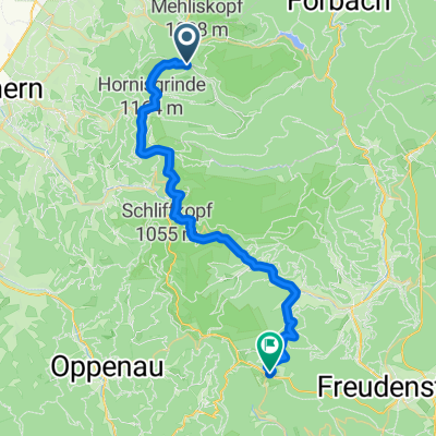
Schönmünzach Zwickgabel-Seibelseckle-Hornisgrinde
- -:--
- Duration
- 16.1 km
- Distance
- 782 m
- Ascent
- 88 m
- Descent
- ---
- Avg. speed
- ---
- Avg. speed
Continue with Bikemap
Use, edit, or download this cycling route
You would like to ride MTB_Schönm-Hornisgr or customize it for your own trip? Here is what you can do with this Bikemap route:
Free features
- Save this route as favorite or in collections
- Copy & plan your own version of this route
- Sync your route with Garmin or Wahoo
Premium features
Free trial for 3 days, or one-time payment. More about Bikemap Premium.
- Navigate this route on iOS & Android
- Export a GPX / KML file of this route
- Create your custom printout (try it for free)
- Download this route for offline navigation
Discover more Premium features.
Get Bikemap PremiumFrom our community
Other popular routes starting in Biberach
- Schwarzenber (Murgtal) - Holohsee - Bad Herrenalb
- Distance
- 30.8 km
- Ascent
- 567 m
- Descent
- 774 m
- Location
- Biberach, Baden-Württemberg, Germany
- MTB_Radw-Schönm-FDS
- Distance
- 22.9 km
- Ascent
- 414 m
- Descent
- 136 m
- Location
- Biberach, Baden-Württemberg, Germany
- Herrenwies-Bühlertal-Herrenwies
- Distance
- 20.4 km
- Ascent
- 809 m
- Descent
- 806 m
- Location
- Biberach, Baden-Württemberg, Germany
- Loewen - Besenfeld - Klosterreichenbach - Loewen (Rundtour)
- Distance
- 25.9 km
- Ascent
- 669 m
- Descent
- 669 m
- Location
- Biberach, Baden-Württemberg, Germany
- mit dem MB von Schönmünzach-Baiersbronn-Tonbachtal über den Seekopf zum Seibelseckle und Mummelsee heimwärts den Fernradweg nach Untersmatt, Hundseck, Sand, Rot
- Distance
- 102.3 km
- Ascent
- 773 m
- Descent
- 1,142 m
- Location
- Biberach, Baden-Württemberg, Germany
- Hornisgrinderunde
- Distance
- 23.3 km
- Ascent
- 439 m
- Descent
- 428 m
- Location
- Biberach, Baden-Württemberg, Germany
- MTB_Schönm-Hornisgr
- Distance
- 16.1 km
- Ascent
- 782 m
- Descent
- 88 m
- Location
- Biberach, Baden-Württemberg, Germany
- Genießerpfad Baiersbronner Panoramasteig
- Distance
- 14.4 km
- Ascent
- 538 m
- Descent
- 541 m
- Location
- Biberach, Baden-Württemberg, Germany
Open it in the app