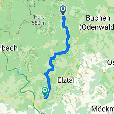
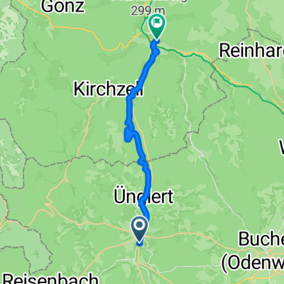
Odenwald mit Höhen und Tiefen
A cycling route starting in Mudau, Baden-Württemberg, Germany.
Overview
About this route
Eine Tour durch die hügelige Landschaft des badischen Odenwaldes.
Von Mudau über Einbach, Waldhausen nach Buchen. Auf die Höhe nach Stürzenhardt und von dort ins bayrische Beuchen,dann geht es hinab nach Amorbach und über Buch wieder zurück nach Mudau.
- -:--
- Duration
- 55.8 km
- Distance
- 669 m
- Ascent
- 669 m
- Descent
- ---
- Avg. speed
- ---
- Avg. speed
Route quality
Waytypes & surfaces along the route
Waytypes
Track
29.5 km
(53 %)
Road
13.6 km
(24 %)
Surfaces
Paved
45.3 km
(81 %)
Unpaved
9.8 km
(18 %)
Asphalt
40 km
(72 %)
Gravel
9.7 km
(17 %)
Continue with Bikemap
Use, edit, or download this cycling route
You would like to ride Odenwald mit Höhen und Tiefen or customize it for your own trip? Here is what you can do with this Bikemap route:
Free features
- Save this route as favorite or in collections
- Copy & plan your own version of this route
- Sync your route with Garmin or Wahoo
Premium features
Free trial for 3 days, or one-time payment. More about Bikemap Premium.
- Navigate this route on iOS & Android
- Export a GPX / KML file of this route
- Create your custom printout (try it for free)
- Download this route for offline navigation
Discover more Premium features.
Get Bikemap PremiumFrom our community
Other popular routes starting in Mudau
- Rund um Mudau
- Distance
- 41.9 km
- Ascent
- 438 m
- Descent
- 436 m
- Location
- Mudau, Baden-Württemberg, Germany
- 20130805_3-Länder-Rad-Event_Tag 1
- Distance
- 57 km
- Ascent
- 776 m
- Descent
- 767 m
- Location
- Mudau, Baden-Württemberg, Germany
- Elztal und Neckar
- Distance
- 65.4 km
- Ascent
- 286 m
- Descent
- 616 m
- Location
- Mudau, Baden-Württemberg, Germany
- trainingsrunde3
- Distance
- 24.6 km
- Ascent
- 509 m
- Descent
- 497 m
- Location
- Mudau, Baden-Württemberg, Germany
- mudau-mosbach
- Distance
- 29.4 km
- Ascent
- 287 m
- Descent
- 578 m
- Location
- Mudau, Baden-Württemberg, Germany
- Odenwald - 4 Tage mit E-Bike und Zelt - Tag 1 - Oberscheidtal bis Klingenberg
- Distance
- 39.9 km
- Ascent
- 207 m
- Descent
- 605 m
- Location
- Mudau, Baden-Württemberg, Germany
- Odenwald mit Höhen und Tiefen
- Distance
- 55.8 km
- Ascent
- 669 m
- Descent
- 669 m
- Location
- Mudau, Baden-Württemberg, Germany
- 20130808_Mudau nach Roßdorf
- Distance
- 139.1 km
- Ascent
- 668 m
- Descent
- 923 m
- Location
- Mudau, Baden-Württemberg, Germany
Open it in the app