Rund um Wien
- 128.7 km
- 405 m
- 403 m
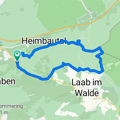
- Wolfsgraben, Lower Austria, Austria
A cycling route starting in Wolfsgraben, Lower Austria, Austria.
Overview
created this 16 years ago
Route quality
Road
20.1 km
(24 %)
Quiet road
1.7 km
(2 %)
Paved
54.5 km
(65 %)
Asphalt
54.5 km
(65 %)
Undefined
29.3 km
(35 %)
Continue with Bikemap
You would like to ride Wienerwaldsee 83 or customize it for your own trip? Here is what you can do with this Bikemap route:
Free trial for 3 days, or one-time payment. More about Bikemap Premium.
Discover more Premium features.
Get Bikemap PremiumFrom our community
Open it in the app