get focused 2010
- 938.6 km
- 3,208 m
- 3,207 m
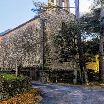
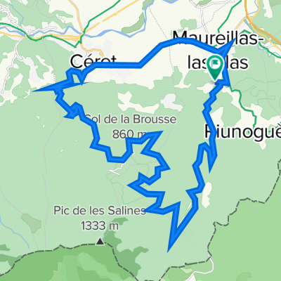
- Maureillas-las-Illas, Occitanie, France
A cycling route starting in Maureillas-las-Illas, Occitanie, France.
Overview
Distance: 9.5 km (5.9 mi)
Difficulty: Medium Time: 1 hour Climbs: 1 Max/Min Altitude: 613 / 252 m (2011 / 827 ft) Percent Climb Distance: 29% Climb #1 Distance: 4.7 km (2.9 mi) Elevation Gain: 361 m (1184 ft) Average Slope: 4.2% created this 12 years ago
Route quality
Road
3.8 km
(80 %)
Track
0.8 km
(18 %)
Paved
3.8 km
(80 %)
Asphalt
3.8 km
(80 %)
Undefined
0.9 km
(20 %)
Continue with Bikemap
You would like to ride FR Riding the Pyrenees 1.2 - Balma de Na Cristiana Dolmen or customize it for your own trip? Here is what you can do with this Bikemap route:
Free trial for 3 days, or one-time payment. More about Bikemap Premium.
Discover more Premium features.
Get Bikemap PremiumFrom our community
Open it in the app