Schieder Schwalenberg - Hameln Hbf
- 35.2 km
- 60 m
- 111 m
- Lügde, North Rhine-Westphalia, Germany
A cycling route starting in Lügde, North Rhine-Westphalia, Germany.
Overview
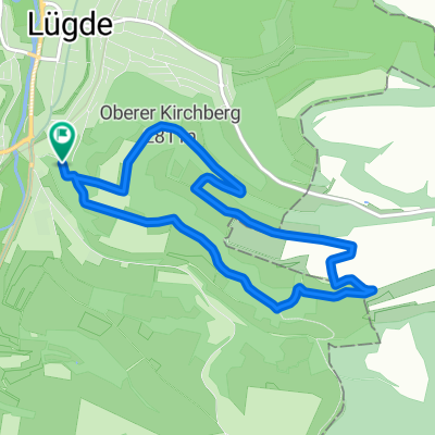
Hi, it's me again, and I'm biking again. It starts at Bicycle Schlieker in Lügde, going through the town and then up to Großenberg. 'Enjoying fresh country air', you know what I mean XD. Through the fields to Baarsen and to Mosterholz, passing the tumulus. Afterwards, a few nice trails down to the valley and once at the bottom, through a stream. That was a welcome refreshment. Through Dallensental, passing the quarries back to Lügde to the barbecue spot, and then another quick beautiful trail down by Kilianskirche, and since I still had to ride to the Lügde chapels (Under the chapels), it meant carrying the bike up the stairs (it's hard to ride up here ;). Then along Ramberg to the Seven Springs. Then along the Eschenbach back to Lügde. Through Lügde and up to the golf course and to Hagen. Along the barbecue hut at Hagen down to Pyrmont and that's it. Just through Holzhausen to get home. That was another nice little tour :D
created this 12 years ago
Route quality
Track
16.5 km
(47 %)
Quiet road
7 km
(20 %)
Paved
17.5 km
(50 %)
Unpaved
11.6 km
(33 %)
Asphalt
13.7 km
(39 %)
Gravel
7 km
(20 %)
Continue with Bikemap
You would like to ride 3.Mai 2013 or customize it for your own trip? Here is what you can do with this Bikemap route:
Free trial for 3 days, or one-time payment. More about Bikemap Premium.
Discover more Premium features.
Get Bikemap PremiumFrom our community
Open it in the app