

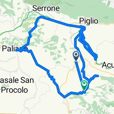
Altipiani di Arcinazzo
A cycling route starting in Acuto, Lazio, Italy.
Overview
About this route
- -:--
- Duration
- 43.1 km
- Distance
- 835 m
- Ascent
- 835 m
- Descent
- ---
- Avg. speed
- ---
- Max. altitude

Continue with Bikemap
Use, edit, or download this cycling route
You would like to ride Altipiani di Arcinazzo or customize it for your own trip? Here is what you can do with this Bikemap route:
Free features
- Save this route as favorite or in collections
- Copy & plan your own version of this route
- Sync your route with Garmin or Wahoo
Premium features
Free trial for 3 days, or one-time payment. More about Bikemap Premium.
- Navigate this route on iOS & Android
- Export a GPX / KML file of this route
- Create your custom printout (try it for free)
- Download this route for offline navigation
Discover more Premium features.
Get Bikemap PremiumFrom our community
Other popular routes starting in Acuto
 Da Strada Regionale 155, Acuto a Viale degli Studi 6, Fiuggi
- Distance
- 26.3 km
- Ascent
- 346 m
- Descent
- 357 m
- Location
- Acuto, Lazio, Italy
 Da SP156 a SP164
- Distance
- 58.1 km
- Ascent
- 1,137 m
- Descent
- 1,130 m
- Location
- Acuto, Lazio, Italy
 Via Anticolana 3, Acuto naar Via Anticolana 13, Acuto
- Distance
- 1.5 km
- Ascent
- 61 m
- Descent
- 4 m
- Location
- Acuto, Lazio, Italy
 Da SP156 a SP164
- Distance
- 53.2 km
- Ascent
- 750 m
- Descent
- 749 m
- Location
- Acuto, Lazio, Italy
 Da SP156 a SP164
- Distance
- 58.4 km
- Ascent
- 855 m
- Descent
- 855 m
- Location
- Acuto, Lazio, Italy
 Acuto abballe
- Distance
- 38.6 km
- Ascent
- 715 m
- Descent
- 712 m
- Location
- Acuto, Lazio, Italy
 Altipiani di Arcinazzo
- Distance
- 43.1 km
- Ascent
- 835 m
- Descent
- 835 m
- Location
- Acuto, Lazio, Italy
 Da Via della Forma, Anagni a Strada Comunale Valle Sant'Angelo, Anagni
- Distance
- 1 km
- Ascent
- 57 m
- Descent
- 0 m
- Location
- Acuto, Lazio, Italy
Open it in the app