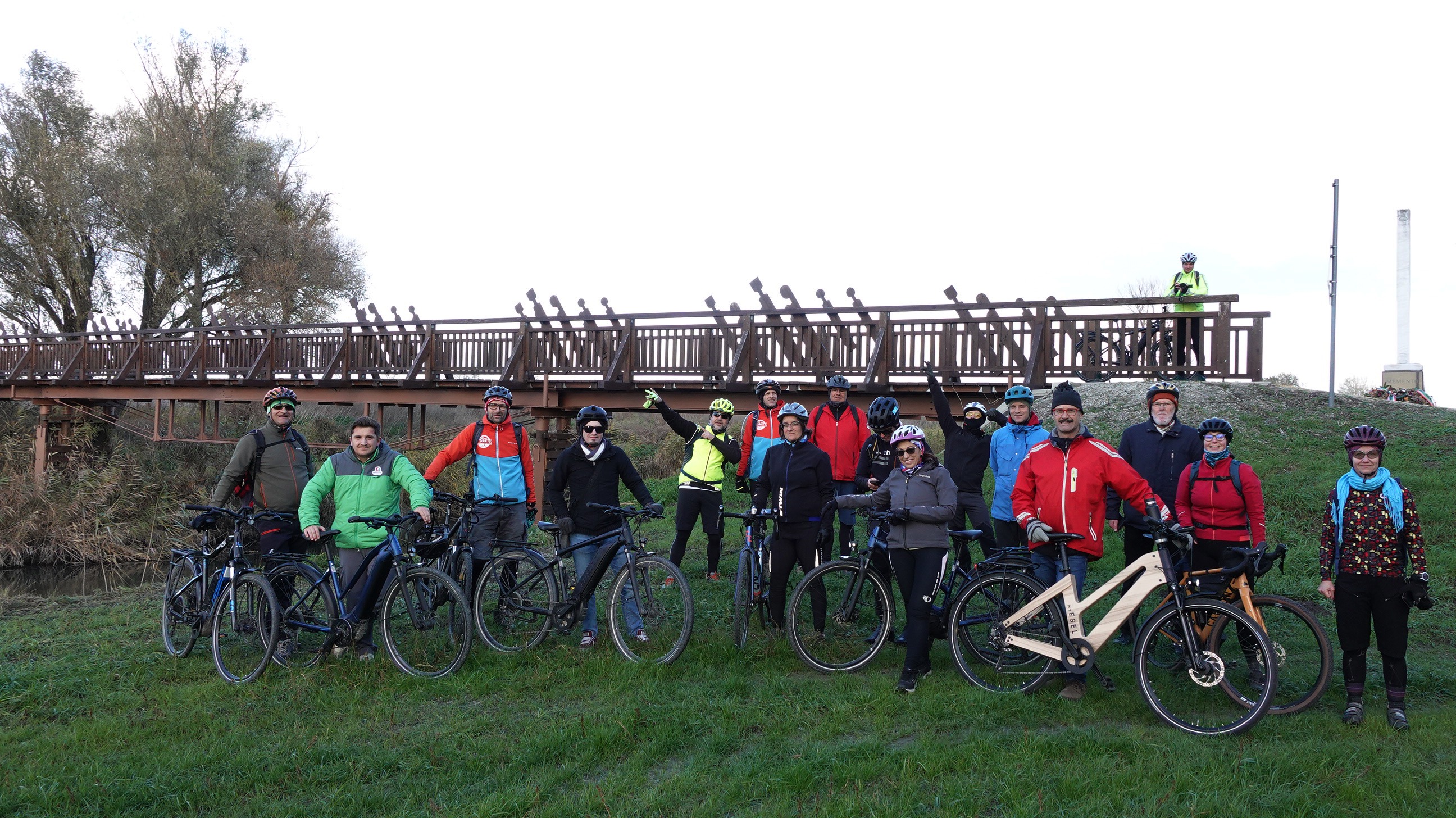
prvnĂ
A cycling route starting in Kapuvár, Győr-Moson-Sopron, Hungary.
Overview
About this route
The more information you write here, the more useful it will be for other users.
- Route progress.
- What is special about this route?
- Why recommend this route?
- What did you like the most here?
- Etc.
- -:--
- Duration
- 101.6 km
- Distance
- 210 m
- Ascent
- 210 m
- Descent
- ---
- Avg. speed
- ---
- Max. altitude
Route quality
Waytypes & surfaces along the route
Waytypes
Cycleway
14.2 km
(14 %)
Track
10.2 km
(10 %)
Surfaces
Paved
76.2 km
(75 %)
Unpaved
4.1 km
(4 %)
Asphalt
76.2 km
(75 %)
Unpaved (undefined)
3 km
(3 %)
Continue with Bikemap
Use, edit, or download this cycling route
You would like to ride prvnĂ or customize it for your own trip? Here is what you can do with this Bikemap route:
Free features
- Save this route as favorite or in collections
- Copy & plan your own version of this route
- Split it into stages to create a multi-day tour
- Sync your route with Garmin or Wahoo
Premium features
Free trial for 3 days, or one-time payment. More about Bikemap Premium.
- Navigate this route on iOS & Android
- Export a GPX / KML file of this route
- Create your custom printout (try it for free)
- Download this route for offline navigation
Discover more Premium features.
Get Bikemap PremiumFrom our community
Other popular routes starting in Kapuvár
- Nemzeti Park kerékpárút HU Hanság egyeztetési verzio 20250211 sor 20, 9330
- Distance
- 58.7 km
- Ascent
- 58 m
- Descent
- 55 m
- Location
- Kapuvár, Győr-Moson-Sopron, Hungary
- Kapuvár-Fertőd-Sopron-Brennbergbánya
- Distance
- 50.8 km
- Ascent
- 350 m
- Descent
- 67 m
- Location
- Kapuvár, Győr-Moson-Sopron, Hungary
- Bercsényi Miklós utca, Kapuvár - Bercsényi Miklós utca, Kapuvár
- Distance
- 17.3 km
- Ascent
- 138 m
- Descent
- 137 m
- Location
- Kapuvár, Győr-Moson-Sopron, Hungary
- Hanság Waasen ATHU NP kerékpárút
- Distance
- 41.4 km
- Ascent
- 60 m
- Descent
- 62 m
- Location
- Kapuvár, Győr-Moson-Sopron, Hungary
- NP1 HU határon átnyúló nagy túra
- Distance
- 125.4 km
- Ascent
- 68 m
- Descent
- 67 m
- Location
- Kapuvár, Győr-Moson-Sopron, Hungary
- Fertő tó kerülés - Tőzeggyármajor
- Distance
- 165.9 km
- Ascent
- 206 m
- Descent
- 207 m
- Location
- Kapuvár, Győr-Moson-Sopron, Hungary
- Csornai kör
- Distance
- 78.2 km
- Ascent
- 223 m
- Descent
- 271 m
- Location
- Kapuvár, Győr-Moson-Sopron, Hungary
- Nemzeti Park kerékpárút HU Hanság egyeztetési verzio 20250211 sor 20, 9330
- Distance
- 59.2 km
- Ascent
- 69 m
- Descent
- 67 m
- Location
- Kapuvár, Győr-Moson-Sopron, Hungary
Open it in the app