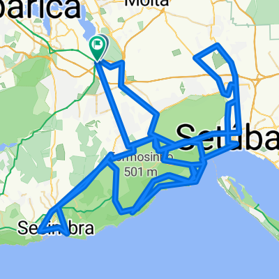
Raid Preparação TransArrábida
- 90 km
- 1,028 m
- 1,028 m
- Santo António da Charneca, Setúbal District, Portugal
A cycling route starting in Santo António da Charneca, Setúbal District, Portugal.
Overview
Preparation raid for TransArrábida and Sesimbra GPS 80.
created this 12 years ago
Continue with Bikemap
You would like to ride Raid Preparação TransArrábida or customize it for your own trip? Here is what you can do with this Bikemap route:
Free trial for 3 days, or one-time payment. More about Bikemap Premium.
Discover more Premium features.
Get Bikemap PremiumFrom our community
Open it in the app