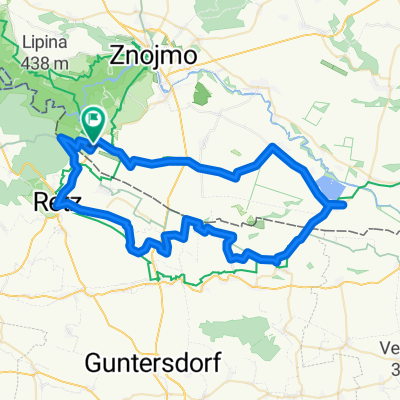
ZWISCHEN HARDEGG UND ZNAIM
- 63.8 km
- 891 m
- 890 m
- Šatov, South Moravian, Czechia
A cycling route starting in Šatov, South Moravian, Czechia.
Overview
Kamp-Thaya-March-Radweg 3
Hardegg - Falkenstein
created this 12 years ago
Route quality
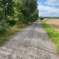
Track
25.3 km
(33 %)
Quiet road
20.7 km
(27 %)
Paved
48.2 km
(63 %)
Unpaved
3.1 km
(4 %)
Asphalt
42.9 km
(56 %)
Paved (undefined)
5.4 km
(7 %)
Continue with Bikemap
You would like to ride Hardegg - Falkenstein (Kamp-Thaya-March 3) or customize it for your own trip? Here is what you can do with this Bikemap route:
Free trial for 3 days, or one-time payment. More about Bikemap Premium.
Discover more Premium features.
Get Bikemap PremiumFrom our community
Open it in the app