Trippstadt Espensteig Kaiserslautern
- 60.8 km
- 499 m
- 497 m
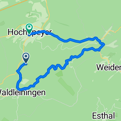
- Waldleiningen, Rhineland-Palatinate, Germany
A cycling route starting in Waldleiningen, Rhineland-Palatinate, Germany.
Overview
Waldleinigen, Schwarzsohl, Wolfschluchthütte and back
created this 12 years ago
Continue with Bikemap
You would like to ride Vatertag 2013 or customize it for your own trip? Here is what you can do with this Bikemap route:
Free trial for 3 days, or one-time payment. More about Bikemap Premium.
Discover more Premium features.
Get Bikemap PremiumFrom our community
Open it in the app