

Tannheim Namlos Tal
A cycling route starting in Grän, Tyrol, Austria.
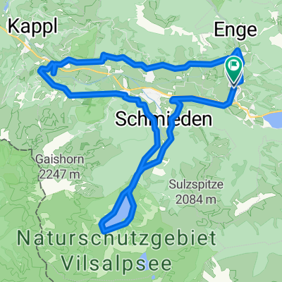
Overview
About this route
The Namlos Valley is beautiful, unfortunately one often rides on roads frequented by cars, and then there are the motorcyclists. A tip - if possible, do not ride on weekends.
Otherwise, it’s a very nice tour.
By the way, the GPS indicated 1300 m of elevation.
- -:--
- Duration
- 85.8 km
- Distance
- 1,398 m
- Ascent
- 1,451 m
- Descent
- ---
- Avg. speed
- 1,373 m
- Max. altitude

Route quality
Waytypes & surfaces along the route
Waytypes
Road
11.2 km
(13 %)
Track
9.4 km
(11 %)
Surfaces
Paved
68.6 km
(80 %)
Unpaved
3.4 km
(4 %)
Asphalt
67.8 km
(79 %)
Gravel
1.7 km
(2 %)
Continue with Bikemap
Use, edit, or download this cycling route
You would like to ride Tannheim Namlos Tal or customize it for your own trip? Here is what you can do with this Bikemap route:
Free features
- Save this route as favorite or in collections
- Copy & plan your own version of this route
- Split it into stages to create a multi-day tour
- Sync your route with Garmin or Wahoo
Premium features
Free trial for 3 days, or one-time payment. More about Bikemap Premium.
- Navigate this route on iOS & Android
- Export a GPX / KML file of this route
- Create your custom printout (try it for free)
- Download this route for offline navigation
Discover more Premium features.
Get Bikemap PremiumFrom our community
Other popular routes starting in Grän
 Tannheim Königssträssle
- Distance
- 83 km
- Ascent
- 851 m
- Descent
- 869 m
- Location
- Grän, Tyrol, Austria
 Haldensee Falkenhorst
- Distance
- 16.3 km
- Ascent
- 330 m
- Descent
- 329 m
- Location
- Grän, Tyrol, Austria
 05.06.2015 Ziehfreund
- Distance
- 28.6 km
- Ascent
- 804 m
- Descent
- 804 m
- Location
- Grän, Tyrol, Austria
 Gräner Landesstraße 18 to Wies 19
- Distance
- 13.7 km
- Ascent
- 253 m
- Descent
- 277 m
- Location
- Grän, Tyrol, Austria
 Dorfstraße, Grän nach Dorfstraße, Grän
- Distance
- 28.8 km
- Ascent
- 587 m
- Descent
- 592 m
- Location
- Grän, Tyrol, Austria
 Tannheim_Aggenstein
- Distance
- 20.3 km
- Ascent
- 972 m
- Descent
- 972 m
- Location
- Grän, Tyrol, Austria
 Haldensee Tour 2
- Distance
- 11 km
- Ascent
- 780 m
- Descent
- 249 m
- Location
- Grän, Tyrol, Austria
 THT Namlos Runde
- Distance
- 85.9 km
- Ascent
- 982 m
- Descent
- 982 m
- Location
- Grän, Tyrol, Austria
Open it in the app