

Tag 5. Civitella M. - Roccastrada - Ribolla - Massa M. - Suvereto - Sassetta
A cycling route starting in Civitella Marittima, Tuscany, Italy.
Overview
About this route
After a visit to the truly spectacular Orcia Valley, I returned the bike in Donoratico. And as it often happens, I poorly planned the last tour and promptly got lost twice. After Ghirlanda, I did not go into Massa Marittima but instead went straight onto the bypass road and immediately found the turnoff to Monte Bamboli. Then it gets really steep. At the top, I was so exhausted that I got lost at an unmarked intersection. I wanted to take the completely paved route over Monte Bamboli to Suvereto, but ended up on a very old path. So after the climb, keep right at the T intersection! In Suvereto, I asked for directions to Sassetta, and the old Signor said that way leads to Sassetta! Hmm, but I come from there?! Unfortunately, I missed the switchbacks to Sassetta. Well, bad luck.
- -:--
- Duration
- 108.6 km
- Distance
- 1,025 m
- Ascent
- 1,289 m
- Descent
- ---
- Avg. speed
- ---
- Max. altitude
Route quality
Waytypes & surfaces along the route
Waytypes
Quiet road
14.1 km
(13 %)
Road
5.4 km
(5 %)
Surfaces
Paved
45.6 km
(42 %)
Unpaved
5.4 km
(5 %)
Asphalt
45.6 km
(42 %)
Gravel
5.4 km
(5 %)
Undefined
57.5 km
(53 %)
Continue with Bikemap
Use, edit, or download this cycling route
You would like to ride Tag 5. Civitella M. - Roccastrada - Ribolla - Massa M. - Suvereto - Sassetta or customize it for your own trip? Here is what you can do with this Bikemap route:
Free features
- Save this route as favorite or in collections
- Copy & plan your own version of this route
- Split it into stages to create a multi-day tour
- Sync your route with Garmin or Wahoo
Premium features
Free trial for 3 days, or one-time payment. More about Bikemap Premium.
- Navigate this route on iOS & Android
- Export a GPX / KML file of this route
- Create your custom printout (try it for free)
- Download this route for offline navigation
Discover more Premium features.
Get Bikemap PremiumFrom our community
Other popular routes starting in Civitella Marittima
 Quick Italian loop
- Distance
- 31.7 km
- Ascent
- 459 m
- Descent
- 455 m
- Location
- Civitella Marittima, Tuscany, Italy
 Tag 3 Saturnia - Casale di Pari
- Distance
- 75 km
- Ascent
- 1,121 m
- Descent
- 1,280 m
- Location
- Civitella Marittima, Tuscany, Italy
 Toskana_2018_Track_05
- Distance
- 87.7 km
- Ascent
- 1,468 m
- Descent
- 989 m
- Location
- Civitella Marittima, Tuscany, Italy
 Da Casale Di Pari Terra Rossa, Civitella Paganico a Strada Statale 223, Civitella Paganico
- Distance
- 21 km
- Ascent
- 244 m
- Descent
- 588 m
- Location
- Civitella Marittima, Tuscany, Italy
 Località Petriolo 11, Monticiano to Vicolo del Bargello 1–7, Siena
- Distance
- 34.3 km
- Ascent
- 480 m
- Descent
- 300 m
- Location
- Civitella Marittima, Tuscany, Italy
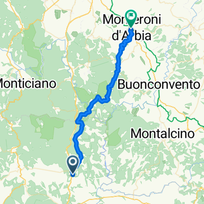 Civitella Marittima - Monteroni d'Arbia
- Distance
- 41.5 km
- Ascent
- 1,153 m
- Descent
- 1,247 m
- Location
- Civitella Marittima, Tuscany, Italy
 Strada Comunale dei Sodalini, Civitella Paganico a SC 223, Civitella Paganico
- Distance
- 28.4 km
- Ascent
- 550 m
- Descent
- 547 m
- Location
- Civitella Marittima, Tuscany, Italy
 long
long- Distance
- 95.3 km
- Ascent
- 1,233 m
- Descent
- 1,218 m
- Location
- Civitella Marittima, Tuscany, Italy
Open it in the app