Dachsloch
- 72.3 km
- 988 m
- 988 m
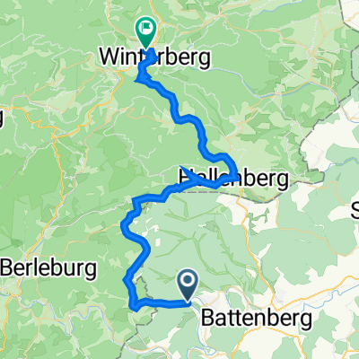
- Hatzfeld, Hesse, Germany
A cycling route starting in Hatzfeld, Hesse, Germany.
Overview
Section between Battenfeld and Hatzfeld very nice, asphalt, at some point up the river behind Hatzfeld no more asphalt and only sporadically on the railway track, from Raumland rather stressful on poor forest roads towards Erndtebrück
no train connection as planned, the Erndtebrück station is an incredible insult to any train traveler, a piss-soaked, filthy hole, unbelievable cheek to insult customers with such a station, the train wants to go down, otherwise it can't be explained, it could make you sick!
so back by train from Erndtebrück to Markhausen, then on the bike path back to the car
just before the end almost fell because I was playing with a camcorder... was really lucky.
created this 12 years ago
Route highlights
Regenpause bei NAZI Sauf Platz
Continue with Bikemap
You would like to ride 2013 Eder Bahntrassen Radweg or customize it for your own trip? Here is what you can do with this Bikemap route:
Free trial for 3 days, or one-time payment. More about Bikemap Premium.
Discover more Premium features.
Get Bikemap PremiumFrom our community
Open it in the app