

Turystyczne kółko po Parku Mużakowskim
A cycling route starting in Łęknica, Lubusz Voivodship, Poland.
Overview
About this route
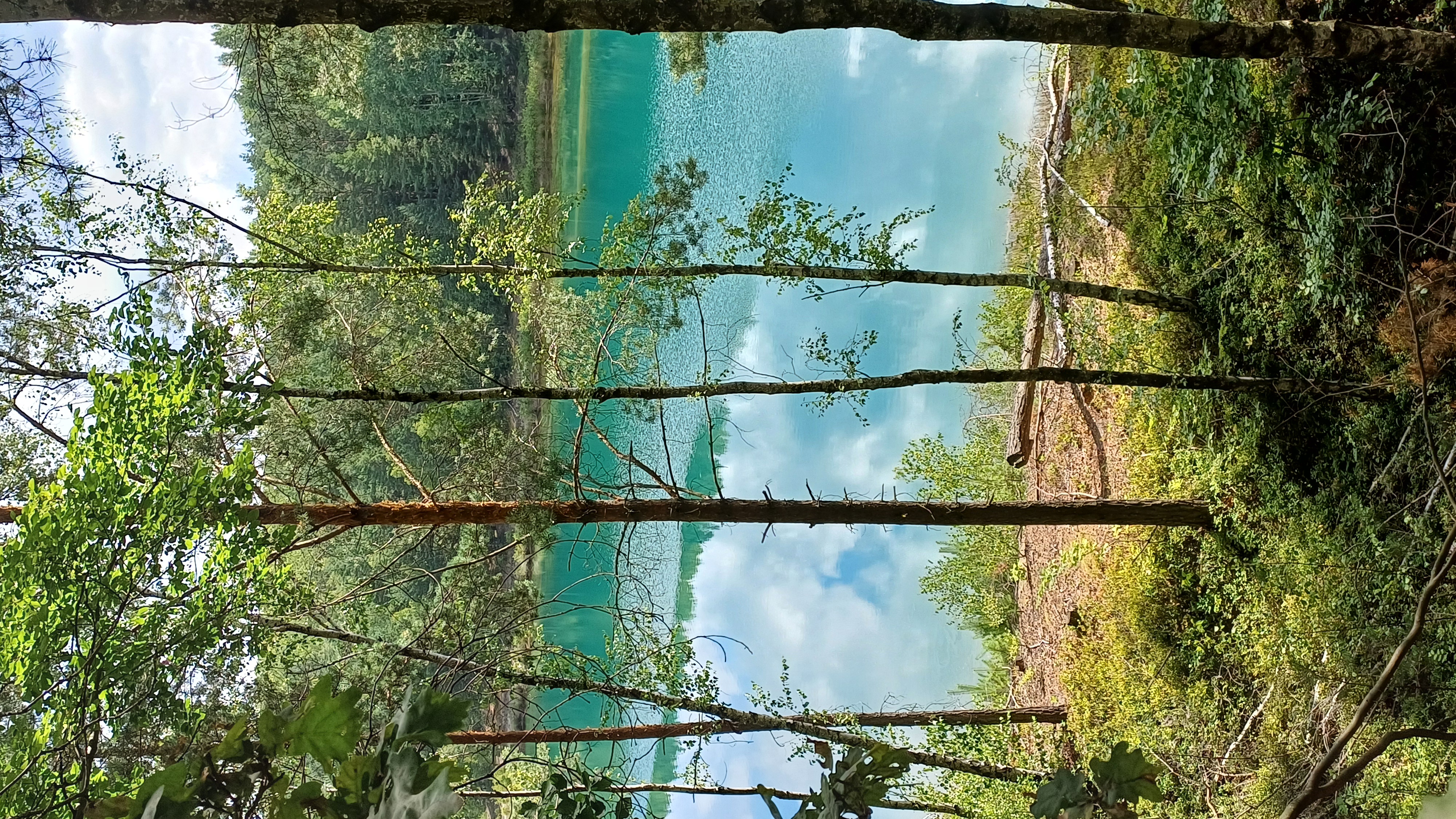
Podczas jazdy będzie można zobaczy wiele przypięknych miejsc.
Ta trasa jest tylko jedną z nielicznych którymi mozna tu podróżowac
- -:--
- Duration
- 21.2 km
- Distance
- 111 m
- Ascent
- 111 m
- Descent
- ---
- Avg. speed
- ---
- Max. altitude
Continue with Bikemap
Use, edit, or download this cycling route
You would like to ride Turystyczne kółko po Parku Mużakowskim or customize it for your own trip? Here is what you can do with this Bikemap route:
Free features
- Save this route as favorite or in collections
- Copy & plan your own version of this route
- Sync your route with Garmin or Wahoo
Premium features
Free trial for 3 days, or one-time payment. More about Bikemap Premium.
- Navigate this route on iOS & Android
- Export a GPX / KML file of this route
- Create your custom printout (try it for free)
- Download this route for offline navigation
Discover more Premium features.
Get Bikemap PremiumFrom our community
Other popular routes starting in Łęknica
 Turystyczne kółko po Parku Mużakowskim
- Distance
- 21.2 km
- Ascent
- 111 m
- Descent
- 111 m
- Location
- Łęknica, Lubusz Voivodship, Poland
 Park Mużakowski rowerem
- Distance
- 35.4 km
- Ascent
- 674 m
- Descent
- 687 m
- Location
- Łęknica, Lubusz Voivodship, Poland
 Bad Muskau, Fürst von Pückler's Park
- Distance
- 13.2 km
- Ascent
- 96 m
- Descent
- 99 m
- Location
- Łęknica, Lubusz Voivodship, Poland
 002_Mitteldeutschlandtour2010_Tag02_Bad Muskau-Burg(Spreewald)
- Distance
- 66.2 km
- Ascent
- 91 m
- Descent
- 154 m
- Location
- Łęknica, Lubusz Voivodship, Poland
 10.07.26 Sagar-Guben (13. Etappe)
- Distance
- 77.1 km
- Ascent
- 64 m
- Descent
- 138 m
- Location
- Łęknica, Lubusz Voivodship, Poland
 solo_2024_12_Bad Muskau -
- Distance
- 138.2 km
- Ascent
- 486 m
- Descent
- 553 m
- Location
- Łęknica, Lubusz Voivodship, Poland
 Von der Neiße an die Spree
- Distance
- 59 km
- Ascent
- 201 m
- Descent
- 189 m
- Location
- Łęknica, Lubusz Voivodship, Poland
 Route in Bad Muskau
- Distance
- 20.9 km
- Ascent
- 220 m
- Descent
- 220 m
- Location
- Łęknica, Lubusz Voivodship, Poland
Open it in the app