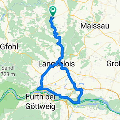
Kamptalweg Abschnitt D, Gars am Kamp nach Bahnhofplatz, Krems an der Donau
- 50 km
- 474 m
- 548 m
- Gars am Kamp, Lower Austria, Austria
Overview
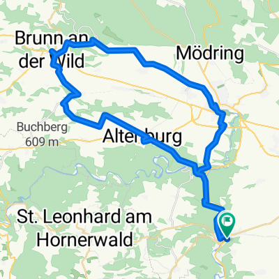
Gars-Mold-Sigmundsherberg-Eggenburg-Harmannstein-Gars
created this 12 years ago
Part of
16 stages
Route quality
Road
15.3 km
(36 %)
Quiet road
0.8 km
(2 %)
Undefined
26.3 km
(62 %)
Paved
25.9 km
(61 %)
Asphalt
25.9 km
(61 %)
Undefined
16.5 km
(39 %)
Continue with Bikemap
You would like to ride Gars_Runde_1 or customize it for your own trip? Here is what you can do with this Bikemap route:
Free trial for 3 days, or one-time payment. More about Bikemap Premium.
Discover more Premium features.
Get Bikemap PremiumFrom our community
Open it in the app