

Go to "Sitoe Tjileoentja"
A cycling route starting in Banjaran, West Java, Indonesia.
Overview
About this route
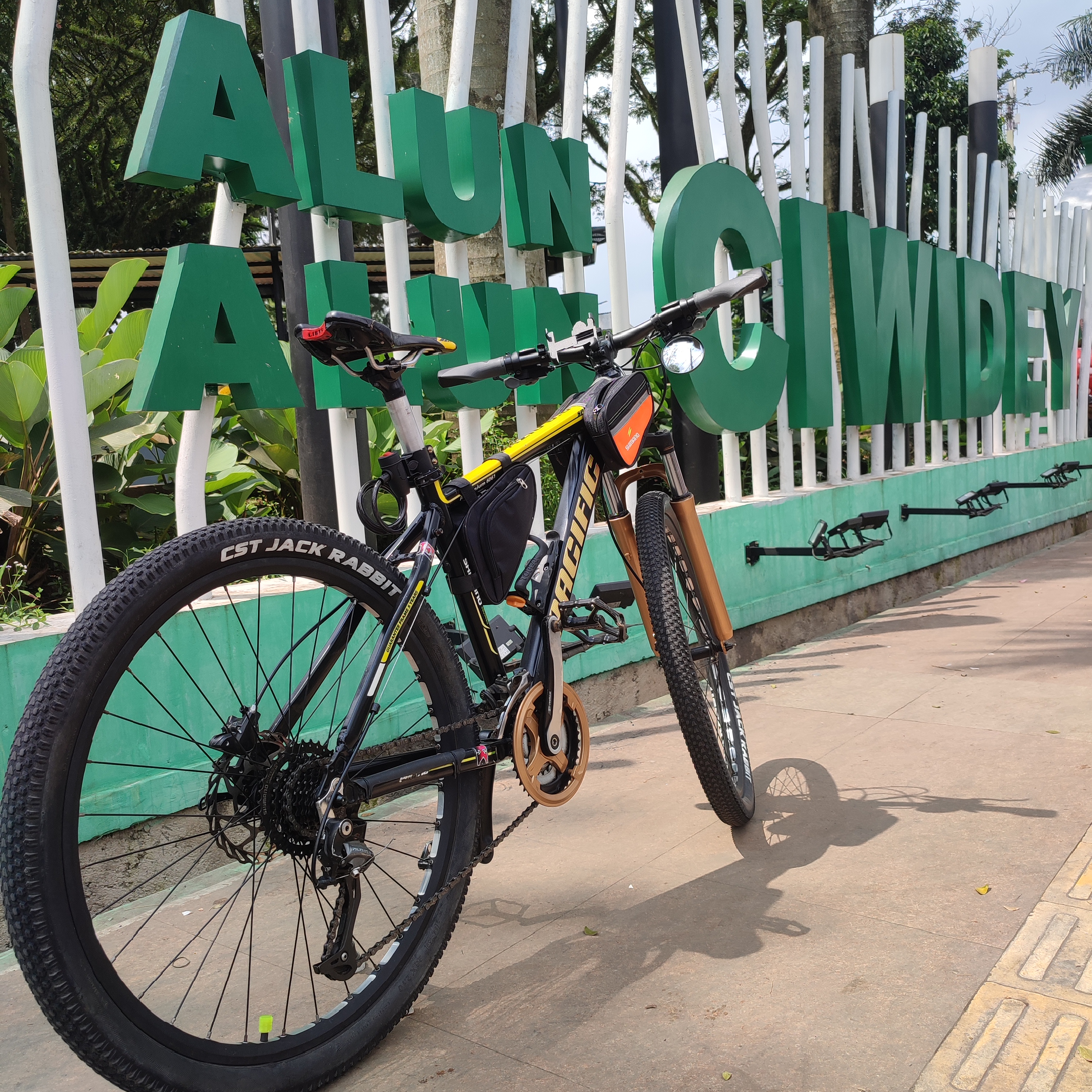
Gowes to Situ Cileunca Pangalengan. Perjalanan yang sangat menyenangkan karena didukung dengan cuaca yang sangat bersahabat untuk ngeGowes. MANTAP!!!
- -:--
- Duration
- 36.1 km
- Distance
- 631 m
- Ascent
- 631 m
- Descent
- ---
- Avg. speed
- ---
- Max. altitude

Continue with Bikemap
Use, edit, or download this cycling route
You would like to ride Go to "Sitoe Tjileoentja" or customize it for your own trip? Here is what you can do with this Bikemap route:
Free features
- Save this route as favorite or in collections
- Copy & plan your own version of this route
- Sync your route with Garmin or Wahoo
Premium features
Free trial for 3 days, or one-time payment. More about Bikemap Premium.
- Navigate this route on iOS & Android
- Export a GPX / KML file of this route
- Create your custom printout (try it for free)
- Download this route for offline navigation
Discover more Premium features.
Get Bikemap PremiumFrom our community
Other popular routes starting in Banjaran
 BikePacker
- Distance
- 1,102.5 km
- Ascent
- 751 m
- Descent
- 1,497 m
- Location
- Banjaran, West Java, Indonesia
 Planing Gowes Selanjutnya
- Distance
- 49.5 km
- Ascent
- 1,256 m
- Descent
- 210 m
- Location
- Banjaran, West Java, Indonesia
 citiss mekarjaya-arjasari
- Distance
- 5.4 km
- Ascent
- 27 m
- Descent
- 357 m
- Location
- Banjaran, West Java, Indonesia
 BikePacker
- Distance
- 1,150.9 km
- Ascent
- 1,103 m
- Descent
- 1,847 m
- Location
- Banjaran, West Java, Indonesia
 Jalan Raya Kamasan Banjaran 32, Kecamatan Banjaran to Jalan Raya Kamasan No.32, Kecamatan Banjaran
- Distance
- 42 km
- Ascent
- 463 m
- Descent
- 498 m
- Location
- Banjaran, West Java, Indonesia
 Pasir Huni, Kecamatan Cimaung to Jalan Palalangon 12, Kecamatan Cimaung
- Distance
- 3.7 km
- Ascent
- 296 m
- Descent
- 0 m
- Location
- Banjaran, West Java, Indonesia
 Batukarut - Gn Puntang (plan)
- Distance
- 13.2 km
- Ascent
- 893 m
- Descent
- 196 m
- Location
- Banjaran, West Java, Indonesia
 Jalan Raya Kamasan No.32, Kecamatan Banjaran to Jalan Raya Kamasan No.32, Kecamatan Banjaran
- Distance
- 40.7 km
- Ascent
- 770 m
- Descent
- 778 m
- Location
- Banjaran, West Java, Indonesia
Open it in the app