
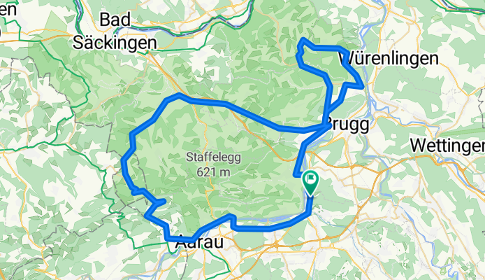
Saalhöhe -Bözberg - Rotberg
A cycling route starting in Veltheim, Canton of Aargau, Switzerland.
Overview
About this route
START: - H'bank
- Rohr - Biberstein - Erlinsbach - Kienberg - Wittnau - Frick - Bözen - Riniken - Remigen - Hottwil - Villigen - Rüfenach - Villnachern ZIEL: - H'bank Max. Steigung: 10% Durchschnittl. Steigung: 4% - -:--
- Duration
- 82 km
- Distance
- 1,090 m
- Ascent
- 1,090 m
- Descent
- ---
- Avg. speed
- ---
- Max. altitude

Route quality
Waytypes & surfaces along the route
Waytypes
Road
25.4 km
(31 %)
Quiet road
2.5 km
(3 %)
Surfaces
Paved
45.9 km
(56 %)
Asphalt
40.2 km
(49 %)
Paved (undefined)
5.7 km
(7 %)
Undefined
36.1 km
(44 %)
Continue with Bikemap
Use, edit, or download this cycling route
You would like to ride Saalhöhe -Bözberg - Rotberg or customize it for your own trip? Here is what you can do with this Bikemap route:
Free features
- Save this route as favorite or in collections
- Copy & plan your own version of this route
- Split it into stages to create a multi-day tour
- Sync your route with Garmin or Wahoo
Premium features
Free trial for 3 days, or one-time payment. More about Bikemap Premium.
- Navigate this route on iOS & Android
- Export a GPX / KML file of this route
- Create your custom printout (try it for free)
- Download this route for offline navigation
Discover more Premium features.
Get Bikemap PremiumFrom our community
Other popular routes starting in Veltheim
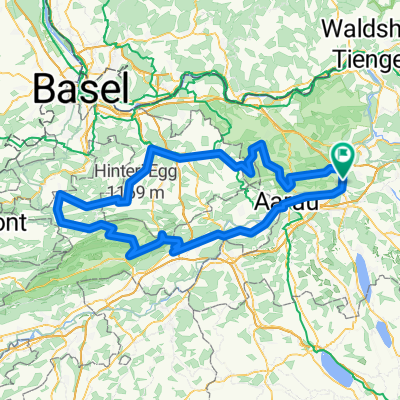 Passwang über Langenbruck mit Benkerjoch und Staffelegg
- Distance
- 152.6 km
- Ascent
- 1,835 m
- Descent
- 1,832 m
- Location
- Veltheim, Canton of Aargau, Switzerland
 Hochdorf-Sempach-Sursee-retour
- Distance
- 93.8 km
- Ascent
- 693 m
- Descent
- 693 m
- Location
- Veltheim, Canton of Aargau, Switzerland
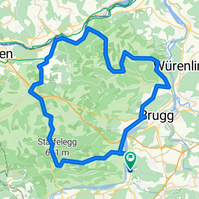 Staffelegg - Kaisten - Laufenburg - Villigen
- Distance
- 68.8 km
- Ascent
- 885 m
- Descent
- 885 m
- Location
- Veltheim, Canton of Aargau, Switzerland
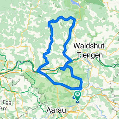 Schwarzwald-Runde
- Distance
- 137.5 km
- Ascent
- 1,438 m
- Descent
- 1,435 m
- Location
- Veltheim, Canton of Aargau, Switzerland
 Buchenegg - Albispass - Ägerisee - Zugersee - Baldeggersee
- Distance
- 179.3 km
- Ascent
- 1,362 m
- Descent
- 1,362 m
- Location
- Veltheim, Canton of Aargau, Switzerland
 Weissenstein (Nordrampe)
- Distance
- 143 km
- Ascent
- 1,231 m
- Descent
- 1,229 m
- Location
- Veltheim, Canton of Aargau, Switzerland
 Zugersee
- Distance
- 118.7 km
- Ascent
- 410 m
- Descent
- 410 m
- Location
- Veltheim, Canton of Aargau, Switzerland
 Hochdorf - Herlisberg - Böhler
- Distance
- 89.4 km
- Ascent
- 731 m
- Descent
- 731 m
- Location
- Veltheim, Canton of Aargau, Switzerland
Open it in the app