

Südtirol-Caritas
A cycling route starting in Percha, Trentino-Alto Adige, Italy.
Overview
About this route
Realxing two days on the raod bike to say helo to the sea!
- -:--
- Duration
- 270.3 km
- Distance
- 2,150 m
- Ascent
- 3,168 m
- Descent
- ---
- Avg. speed
- ---
- Max. altitude
Route quality
Waytypes & surfaces along the route
Waytypes
Road
27 km
(10 %)
Quiet road
24.3 km
(9 %)
Surfaces
Paved
243.3 km
(90 %)
Unpaved
2.7 km
(1 %)
Asphalt
243.3 km
(90 %)
Gravel
2.7 km
(1 %)
Undefined
24.3 km
(9 %)
Continue with Bikemap
Use, edit, or download this cycling route
You would like to ride Südtirol-Caritas or customize it for your own trip? Here is what you can do with this Bikemap route:
Free features
- Save this route as favorite or in collections
- Copy & plan your own version of this route
- Split it into stages to create a multi-day tour
- Sync your route with Garmin or Wahoo
Premium features
Free trial for 3 days, or one-time payment. More about Bikemap Premium.
- Navigate this route on iOS & Android
- Export a GPX / KML file of this route
- Create your custom printout (try it for free)
- Download this route for offline navigation
Discover more Premium features.
Get Bikemap PremiumFrom our community
Other popular routes starting in Percha
 20150507_121237.gpx
- Distance
- 14.9 km
- Ascent
- 228 m
- Descent
- 273 m
- Location
- Percha, Trentino-Alto Adige, Italy
 z P pod Knutten alm 90/2170
- Distance
- 90.5 km
- Ascent
- 2,422 m
- Descent
- 2,426 m
- Location
- Percha, Trentino-Alto Adige, Italy
 Obere Tauernalm 90/1400
- Distance
- 50.2 km
- Ascent
- 1,572 m
- Descent
- 516 m
- Location
- Percha, Trentino-Alto Adige, Italy
 Bruneck,Latzfonser hutte 64/2230
- Distance
- 64.4 km
- Ascent
- 2,414 m
- Descent
- 1,065 m
- Location
- Percha, Trentino-Alto Adige, Italy
 bruneck-cortina etappe5
- Distance
- 54.3 km
- Ascent
- 602 m
- Descent
- 349 m
- Location
- Percha, Trentino-Alto Adige, Italy
 Nedaleko od neba 64/1700
- Distance
- 64.3 km
- Ascent
- 1,914 m
- Descent
- 1,914 m
- Location
- Percha, Trentino-Alto Adige, Italy
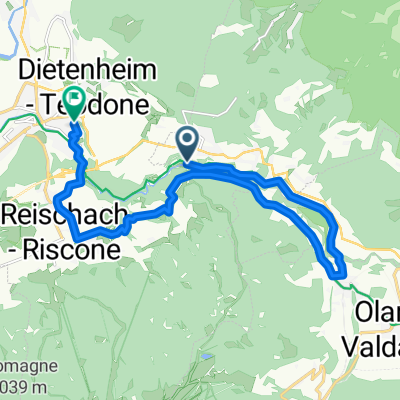
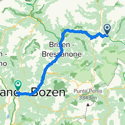 Bruneck - Brixen - Bozen
- Distance
- 87.5 km
- Ascent
- 1,152 m
- Descent
- 1,825 m
- Location
- Percha, Trentino-Alto Adige, Italy
 2 - Brunek - Lienz - Berg im Drautal
- Distance
- 109.1 km
- Ascent
- 343 m
- Descent
- 634 m
- Location
- Percha, Trentino-Alto Adige, Italy
Open it in the app