Radtour
- 22.7 km
- 447 m
- 543 m
- Bergneustadt, North Rhine-Westphalia, Germany
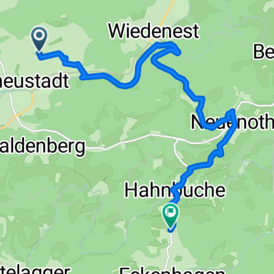
A cycling route starting in Bergneustadt, North Rhine-Westphalia, Germany.
Overview
Start is in Lantenbach at the Genkeltalsperrenpark parking lot. Travel direction left towards Meinerzhagen along the main road. Then turn right over the dam of the forebay reservoir Bruch towards the village Bruch. Above the swimming pool, it goes uphill to the village of Lieberhausen. Between the first houses, a footpath goes steeply up to the right. Cross the street twice. Then go over the ridge and after about 30 meters left of the main road, turn into the farm road and keep straight. At the end of the path, a busy road appears. But don’t worry, it’s just a few meters to the right and at the next intersection turn left. Now just go straight towards the Dümpel airfield. (The mountain drags on ;)) Once you reach the top, you can turn left and take a detour to Dümpel airfield, watch the planes and have a coffee. After the break, you ride back on the road past the loading runway. Now there’s a bench on the left side, where you turn right and follow the forest path until you reach an intersection, there keep left. After crossing the road, go uphill through the parking lot towards Knollen or Bergneustadt. Just follow the path until you reach an intersection at the lookout tower. Now turn right down the forest path. At the bottom, there's a 'path' that goes left (from the log) which you follow, then you need to turn left again and you'll come to a steep descent. Caution: there are many loose stones, branches, and wood around. You will come out at the Aggertalsperre and ride over the dam of the forebay. Then turn left along the dam. At the end of the path, turn left again over the dam towards the main road and again left towards Lantenbach and back to the hiking parking lot. Have fun!
created this 12 years ago
Route quality
Track
13.1 km
(68 %)
Quiet road
1.7 km
(9 %)
Paved
8.1 km
(42 %)
Unpaved
10 km
(52 %)
Asphalt
6.2 km
(32 %)
Gravel
5 km
(26 %)
Continue with Bikemap
You would like to ride Zum Flugplatz or customize it for your own trip? Here is what you can do with this Bikemap route:
Free trial for 3 days, or one-time payment. More about Bikemap Premium.
Discover more Premium features.
Get Bikemap PremiumFrom our community
Open it in the app