- 28.6 km
- 605 m
- 602 m
- Schenkenzell, Baden-Wurttemberg, Germany
Schenkenzell-Kniebis-Lossburg
A cycling route starting in Schenkenzell, Baden-Wurttemberg, Germany.
Overview
About this route
From Schenkenzell to Schiltach and then up the mountain to Kniebis. Once these efforts are completed, it usually goes flat over to Loßburg and then down the Logger's Path to Alpirsbach. Only a few kilometers remain until the starting point.
- -:--
- Duration
- 68 km
- Distance
- 1,834 m
- Ascent
- 1,634 m
- Descent
- ---
- Avg. speed
- 905 m
- Max. altitude
created this 16 years ago
Route quality
Waytypes & surfaces along the route
Waytypes
Track
55 km
81 %
Quiet road
8.8 km
13 %
Surfaces
Paved
12.9 km
(19 %)
Unpaved
48.9 km
(72 %)
Gravel
44.9 km
66 %
Asphalt
12.2 km
18 %
Continue with Bikemap
Use, edit, or download this cycling route
You would like to ride Schenkenzell-Kniebis-Lossburg or customize it for your own trip? Here is what you can do with this Bikemap route:
Free features
- Save this route as favorite or in collections
- Copy & plan your own version of this route
- Sync your route with Garmin or Wahoo
Premium features
Free trial for 3 days, or one-time payment. More about Bikemap Premium.
- Navigate this route on iOS & Android
- Export a GPX / KML file of this route
- Create your custom printout (try it for free)
- Download this route for offline navigation
Discover more Premium features.
Get Bikemap PremiumFrom our community
Other popular routes starting in Schenkenzell
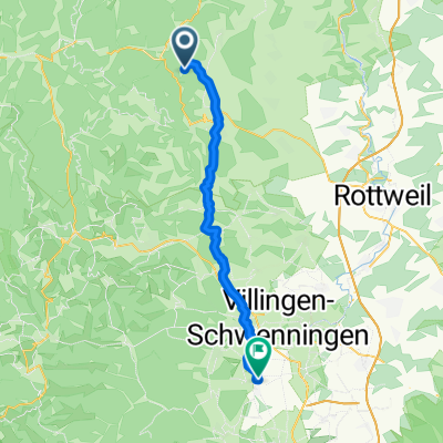
- Schenkenzell-Aichhalden-Schramberg
- Schenkenzell-Zwieslberg-Rossberg
- 41.3 km
- 625 m
- 625 m
- Schenkenzell, Baden-Wurttemberg, Germany
- RR_Szell-Winth-Rtbg-24H-Lsbg
- 38.9 km
- 635 m
- 509 m
- Schenkenzell, Baden-Wurttemberg, Germany
- Schenkenzell-Hark Hof - die sanfte
- 72.7 km
- 912 m
- 911 m
- Schenkenzell, Baden-Wurttemberg, Germany
- schiltach bubble n brigachtal
- 38.7 km
- 677 m
- 499 m
- Schenkenzell, Baden-Wurttemberg, Germany
- Schenkenzell-Kuhbach-Rossberg
- 38.1 km
- 692 m
- 692 m
- Schenkenzell, Baden-Wurttemberg, Germany
- Schenkenzell-Hark Hof - die anstrengende
- 82.3 km
- 953 m
- 953 m
- Schenkenzell, Baden-Wurttemberg, Germany
- Schenkenzell-Kleine Kinzig über Wanne
- 36.3 km
- 605 m
- 605 m
- Schenkenzell, Baden-Wurttemberg, Germany
Open it in the app


