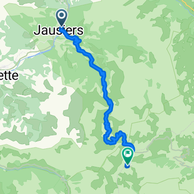
Col de la cime della Bonette m.2802 - Jausieres
- 23.6 km
- 10 m
- 1,576 m
- Jausiers, Provence-Alpes-Côte d'Azur Region, France
A cycling route starting in Jausiers, Provence-Alpes-Côte d'Azur Region, France.
Overview
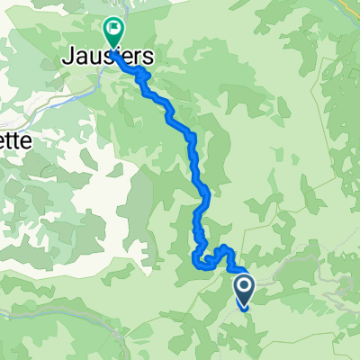
Day 5a - The High Alps - Jausiers to Nice
Avoiding the col de la bonnettecreated this 12 years ago
Route quality
Quiet road
5.3 km
(3 %)
Cycleway
5.3 km
(3 %)
Paved
102.8 km
(58 %)
Asphalt
101 km
(57 %)
Paved (undefined)
1.8 km
(1 %)
Undefined
74.4 km
(42 %)
Continue with Bikemap
You would like to ride Day 5a - The High Alps - Jausiers to Nice or customize it for your own trip? Here is what you can do with this Bikemap route:
Free trial for 3 days, or one-time payment. More about Bikemap Premium.
Discover more Premium features.
Get Bikemap PremiumFrom our community
Open it in the app