utlunda, grisslehamn maj 2017
- 47.4 km
- 0 m
- 0 m
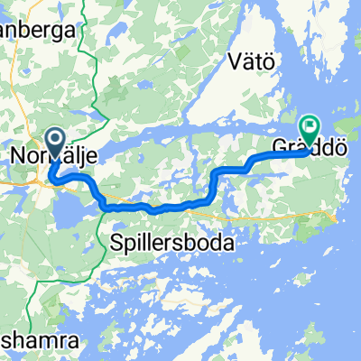
- Norrtälje, Stockholm County, Sweden
A cycling route starting in Norrtälje, Stockholm County, Sweden.
Overview
folgt
Route quality
Road
69.8 km
(81 %)
Quiet road
5.2 km
(6 %)
Paved
64.6 km
(75 %)
Asphalt
63.7 km
(74 %)
Paved (undefined)
0.9 km
(1 %)
Undefined
21.5 km
(25 %)
Continue with Bikemap
You would like to ride Norrtälje - Östhammar or customize it for your own trip? Here is what you can do with this Bikemap route:
Free trial for 3 days, or one-time payment. More about Bikemap Premium.
Discover more Premium features.
Get Bikemap PremiumFrom our community
Open it in the app